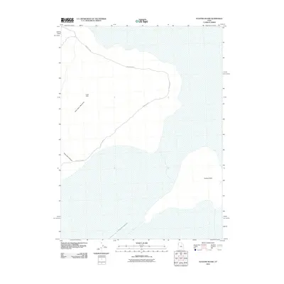
2010 Map of Floating Island
USGS Topo · Published 2010About this map
Floating Island rises from the salt flats of western Utah, a prominent landform surrounded by a desolate landscape of ancient lakebeds. This 2010 survey by the U.S. Geological Survey documents the eastern fringes of the Silver Island Mountains, where peaks like Cobb Peak transition into the low-lying basin. The isolation of this terrain is underscored by the presence of the International Racetrack, a feature indicative of the region's famous land-speed testing grounds. Connecting the desert topography is the primitive path of Silver Island Rd, which skirts the base of the mountains and passes near Silver Island Canyon. The map illustrates a unique intersection of extreme natural geography and specialized human use, where the dry, flat expanse of the salt desert provides a foundation for high-speed trials.
Find a feature on this map
6 named features on this map. Tap any name to fly to it.
Don’t see what you’re looking for? This feature index may not catch every label — zoom into the map to look around manually.
Map Details
Editions of this 2010 Floating Island Map
This is the sole edition of this map. No revisions or reprints were ever made.
Other maps of this area

1953 · Tooele
USGS Topo · 1:250,000

1954 · Brigham City
USGS Topo · 1:250,000

1955 · Tooele
USGS Topo · 1:250,000

1958 · Brigham City
USGS Topo · 1:250,000

1962 · Brigham City
USGS Topo · 1:250,000

1970 · Crater Island
USGS Topo · 1:24,000

1971 · Graham Peak
USGS Topo · 1:24,000

1971 · Bonneville Racetrack
USGS Topo · 1:24,000

1973 · Floating Island SW
USGS Topo · 1:24,000

1973 · Floating Island SE
USGS Topo · 1:24,000