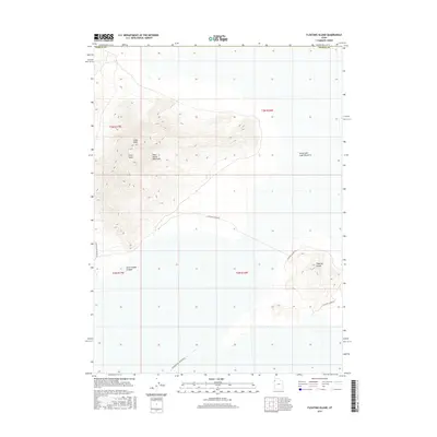
2017 Map of Floating Island
USGS Topo · Published 2017About this map
The Silver Island Mountains dominate this high-desert landscape in Tooele County, rising abruptly from the surrounding flats of the Great Salt Lake Desert. The map centers on the prominent Cobb Peak and the geological formation known as Silver Island, providing a detailed look at the topographic contours of this arid terrain. The landscape is defined by its isolation and the stark contrast between the elevated mountain peaks and the level desert floor below.
Find a feature on this map
14 named features on this map. Tap any name to fly to it.
Don’t see what you’re looking for? This feature index may not catch every label — zoom into the map to look around manually.
Map Details
Editions of this 2017 Floating Island Map
This is the sole edition of this map. No revisions or reprints were ever made.
Other maps of this area

1953 · Tooele
USGS Topo · 1:250,000

1954 · Brigham City
USGS Topo · 1:250,000

1955 · Tooele
USGS Topo · 1:250,000

1958 · Brigham City
USGS Topo · 1:250,000

1962 · Brigham City
USGS Topo · 1:250,000

1970 · Crater Island
USGS Topo · 1:24,000

1971 · Graham Peak
USGS Topo · 1:24,000

1971 · Bonneville Racetrack
USGS Topo · 1:24,000

1973 · Floating Island SW
USGS Topo · 1:24,000

1973 · Floating Island SE
USGS Topo · 1:24,000