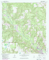
1960 Map of Flomaton
USGS Topo · Published 1986About this map
Big Escambia Creek dominates this southern Alabama landscape, winding through a network of smaller tributaries including Sizemore Creek, Coupen Creek, and Hall Creek. The settlement of Flomaton serves as a transportation focal point where the Seaboard railroad and multiple pipelines converge near the Florida border. The map documents a rural society anchored by numerous country churches, such as Moyeville Ch and Travelers Rest Ch, and small family cemeteries like Mize Cem. Industrial activity is evident through various Sand and Gravel Pits and a Landing Strip near the creek. The presence of a Lookout Tower and Bowman Camp suggests the importance of timber and land management in this Escambia County territory during the mid-20th century.
Find a feature on this map
34 named features on this map. Tap any name to fly to it.
Don’t see what you’re looking for? This feature index may not catch every label — zoom into the map to look around manually.
Map Details
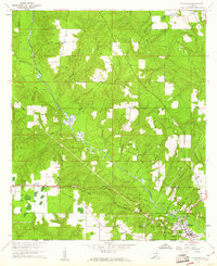
Editions of this 1960 Flomaton Map
2 editions found
Other maps of this area

1941 · Century
USGS Topo · 1:62,500

1943 · Century
USGS Topo · 1:62,500

1943 · Jay
USGS Topo · 1:62,500

1953 · Andalusia
USGS Topo · 1:250,000

1957 · Andalusia
USGS Topo · 1:250,000

1957 · Pensacola
USGS Topo · 1:250,000

1959 · Pensacola
USGS Topo · 1:250,000

1960 · Pensacola
USGS Topo · 1:250,000

1960 · Atmore
USGS Topo · 1:24,000

1960 · Huxford
USGS Topo · 1:24,000