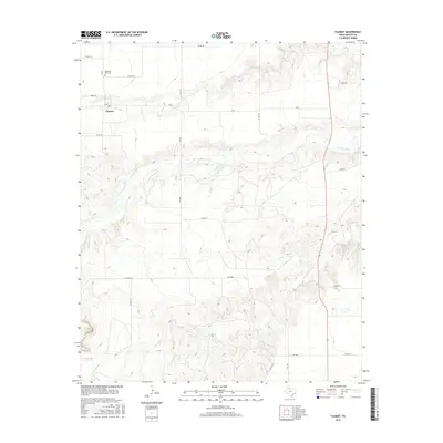
2016 Map of Flomot
USGS Topo · Published 2016About this map
Flomot serves as the primary hub in this portion of Motley County, where local life is organized around a grid of farm-to-market roads and county routes. The community includes a Post Office and is served by the Memorial Park Cemetery to the north along FM 599. The landscape is defined by the significant drainage of the North Pease River, which carves a winding path through the center of the quadrangle. Several smaller waterways, including Alamosa Creek and Tom Ball Creek, contribute to the topographic relief, creating a network of draws and breaks characteristic of this region. Near the southern edge of the map, Miller Springs indicates a persistent water source in an otherwise arid environment, highlighting the essential relationship between water and settlement in West Texas.
Find a feature on this map
24 named features on this map. Tap any name to fly to it.
Don’t see what you’re looking for? This feature index may not catch every label — zoom into the map to look around manually.
Map Details
Editions of this 2016 Flomot Map
This is the sole edition of this map. No revisions or reprints were ever made.
Other maps of this area

1954 · Plainview
USGS Topo · 1:250,000

1958 · Plainview
USGS Topo · 1:250,000

1966 · Matador
USGS Topo · 1:24,000

1967 · Quitaque
USGS Topo · 1:24,000

1967 · North Windmill
USGS Topo · 1:24,000

1967 · Quitaque Peaks
USGS Topo · 1:24,000

1967 · Dick Moore Canyon
USGS Topo · 1:24,000

1967 · Hornica Creek
USGS Topo · 1:24,000

1967 · Flomot
USGS Topo · 1:24,000

1967 · Whiteflat
USGS Topo · 1:24,000