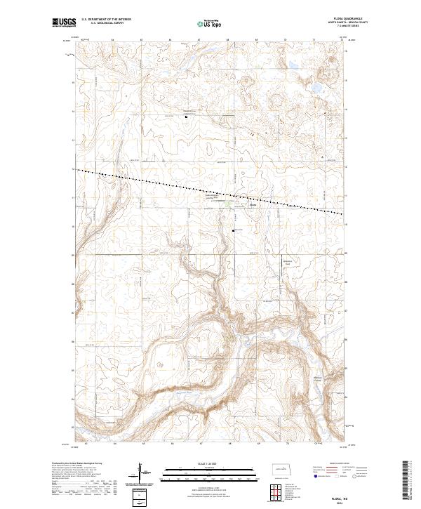
2024 Map of Flora
USGS Topo · Published 2024About this map
The small settlement of Flora serves as the focal point for this Benson County landscape, where the agricultural grid meets the winding course of the Sheyenne River. The river cuts through the southern portion of the quadrangle, joined by the distinctive Peterson Coulee, creating a localized break in the otherwise steady township and range system. This rural area is marked by a deep sense of lineage, evidenced by the Greenwood Cem / Maddock Cem and the Flora Cem. Aviation plays a notable role in the local infrastructure, with private facilities like the Sabbe Brothers Landing Strip and Gilbertson Field appearing alongside the network of section-line roads, including Co Rd 0319 and Co Rd 0328. The map documents a classic North Dakota prairie community where family-named landmarks and essential water sources define the local geography.
Find a feature on this map
26 named features on this map. Tap any name to fly to it.
Don’t see what you’re looking for? This feature index may not catch every label — zoom into the map to look around manually.
Map Details
Editions of this 2024 Flora Map
This is the sole edition of this map. No revisions or reprints were ever made.
Other maps of this area

1932 · Flora
USGS Topo · 1:62,500

1943 · Maddock
USGS Topo · 1:62,500

1945 · Maddock
USGS Topo · 1:62,500

1951 · Flora SE
USGS Topo · 1:24,000

1951 · Black Hammer Hill
USGS Topo · 1:24,000

1951 · Flora
USGS Topo · 1:24,000

1951 · Josephine
USGS Topo · 1:24,000

1951 · Maddock
USGS Topo · 1:24,000
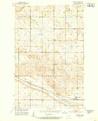
1951 · Hamberg
USGS Topo · 1:24,000

1951 · Flora
USGS Topo · 1:62,500