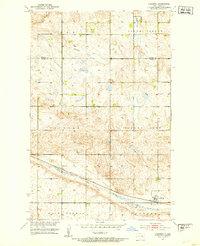
1951 Map of Hamberg
USGS Topo · Published 1953About this map
Hamberg serves as a small rail-oriented focal point in this 1950s survey of the central North Dakota prairie. The settlement is situated along the Great Northern railroad line, which cuts a straight path across the lower portion of the sheet. The local landscape is dominated by the sprawling waterway of Big Slough, which mirrors the track's route through the glacial terrain.
Find a feature on this map
14 named features on this map. Tap any name to fly to it.
Don’t see what you’re looking for? This feature index may not catch every label — zoom into the map to look around manually.
Map Details
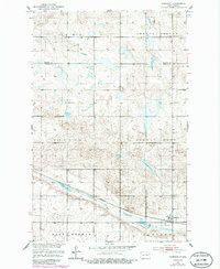
Editions of this 1951 Hamberg Map
2 editions found
Other maps of this area

1932 · Flora
USGS Topo · 1:62,500

1943 · Maddock
USGS Topo · 1:62,500

1945 · Maddock
USGS Topo · 1:62,500

1948 · Cathay
USGS Topo · 1:62,500

1948 · Fessenden
USGS Topo · 1:62,500

1948 · Bremen
USGS Topo · 1:24,000

1949 · Bremen
USGS Topo · 1:24,000

1949 · Fessenden East
USGS Topo · 1:24,000

1949 · Fessenden West
USGS Topo · 1:24,000

1951 · Black Hammer Hill
USGS Topo · 1:24,000