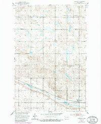
1951 Map of Hamberg
USGS Topo · Published 1986About this map
Hamberg serves as the primary hub of this North Dakota landscape, situated along the Burlington Northern railroad corridor. The area is defined by a dense network of township sections and rural schoolhouses, including Corby Sch, Lynne Sch, and numbered locations like School No 3, reflecting the region's historical commitment to local education. To the south, the terrain is marked by Big Slough, a significant water feature that cuts through the Hamburg and West Norway township boundaries.
Find a feature on this map
15 named features on this map. Tap any name to fly to it.
Don’t see what you’re looking for? This feature index may not catch every label — zoom into the map to look around manually.
Map Details
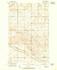
Editions of this 1951 Hamberg Map
2 editions found
Other maps of this area

1932 · Flora
USGS Topo · 1:62,500

1943 · Maddock
USGS Topo · 1:62,500

1945 · Maddock
USGS Topo · 1:62,500

1948 · Cathay
USGS Topo · 1:62,500

1948 · Fessenden
USGS Topo · 1:62,500

1948 · Bremen
USGS Topo · 1:24,000

1949 · Bremen
USGS Topo · 1:24,000

1949 · Fessenden East
USGS Topo · 1:24,000

1949 · Fessenden West
USGS Topo · 1:24,000

1951 · Black Hammer Hill
USGS Topo · 1:24,000