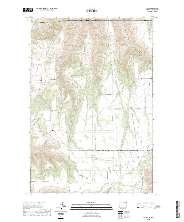
2024 Map of Flora
USGS Topo · Published 2024About this map
Flora stands as a focal point in this high-altitude corner of Wallowa County, situated at the junction of Weatherman Rd and Flora Ln. The topography is defined by deep incisions like Applegate Canyon and Shuman Canyon that drop away from high plateaus. To the north, the Grande Ronde River carves through the landscape at Horseshoe Bend, marking the approach to the Oregon and Washington border. Genealogical interests are served by the presence of the Nicoson Cem and Lost Prairie Cem, which offer physical links to the early families of the Lost Prairie settlement. The network of local routes, including Lost Prairie Rd and Courtney Creek Rd, traces the ridges and canyon floors, reflecting a landscape where movement is dictated by the dramatic rise of Buck Butte and Buford Ridge.
Find a feature on this map
36 named features on this map. Tap any name to fly to it.
Don’t see what you’re looking for? This feature index may not catch every label — zoom into the map to look around manually.
Map Details
Editions of this 2024 Flora Map
This is the sole edition of this map. No revisions or reprints were ever made.
Other maps of this area

1943 · Saddle Butte
USGS Topo · 1:62,500

1944 · Anatone
USGS Topo · 1:62,500

1946 · Saddle Butte
USGS Topo · 1:62,500

1946 · Anatone
USGS Topo · 1:62,500

1955 · Pullman
USGS Topo · 1:250,000

1955 · Grangeville
USGS Topo · 1:250,000

1958 · Pullman
USGS Topo · 1:250,000

1959 · Grangeville
USGS Topo · 1:250,000

1967 · Wood Butte
USGS Topo · 1:24,000

1967 · Troy
USGS Topo · 1:24,000