
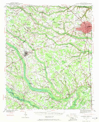
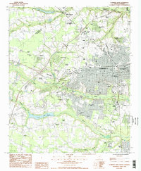
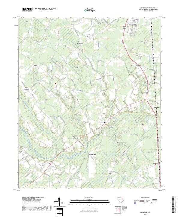
2024 Map of Florence East
USGS Topo · Published 2024About this map
The eastern expanse of Florence is defined by a dense network of watercourses and expanding infrastructure. The landscape is carved by Jeffries Creek, Polk Swamp, and Willow Creek, which wind through the terrain alongside significant modern landmarks like Francis Marion University and the Florence Regional Airport. The settlement pattern reveals distinct communities and rural junctions, including Quinby, Mars Bluff, and Price Crossroads, alongside the smaller residential clusters of Quinby Forest and Meeks.
Find a feature on this map
52 named features on this map. Tap any name to fly to it.
Don’t see what you’re looking for? This feature index may not catch every label — zoom into the map to look around manually.
Map Details
Editions of this 2024 Florence East Map
This is the sole edition of this map. No revisions or reprints were ever made.
Historical Maps of Quinby Forest Through Time
25 maps found

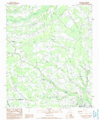
1940 Florence East
Florence County, SC
1940 Florence West
Florence County, SC

1945 Florence East
Florence County, SC

1945 Florence West
Florence County, SC

1946 Hyman
Florence County, SC
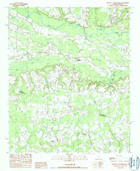
1986 Effingham
Florence County, SC
1986 Evergreen
Florence County, SC
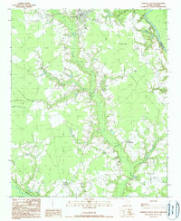
1986 Florence East
Florence County, SC
1986 Florence West
Florence County, SC
1986 Pamplico North
Florence County, SC
1986 Pee Dee
Florence County, SC
1986 Sardis
Florence County, SC
1990 Mill Bay
Florence County, SC
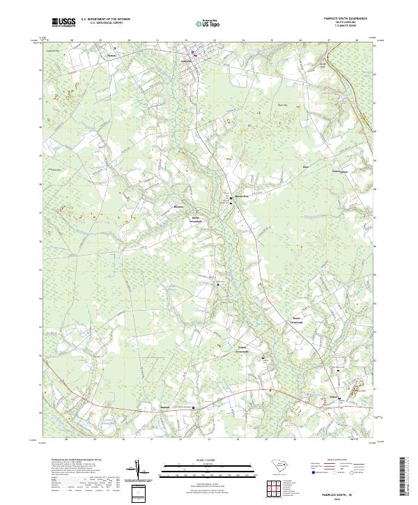
1990 Pamplico South
Florence County, SC
1990 Prospect Crossroads
Florence County, SC
2024 Effingham
Florence County, SC
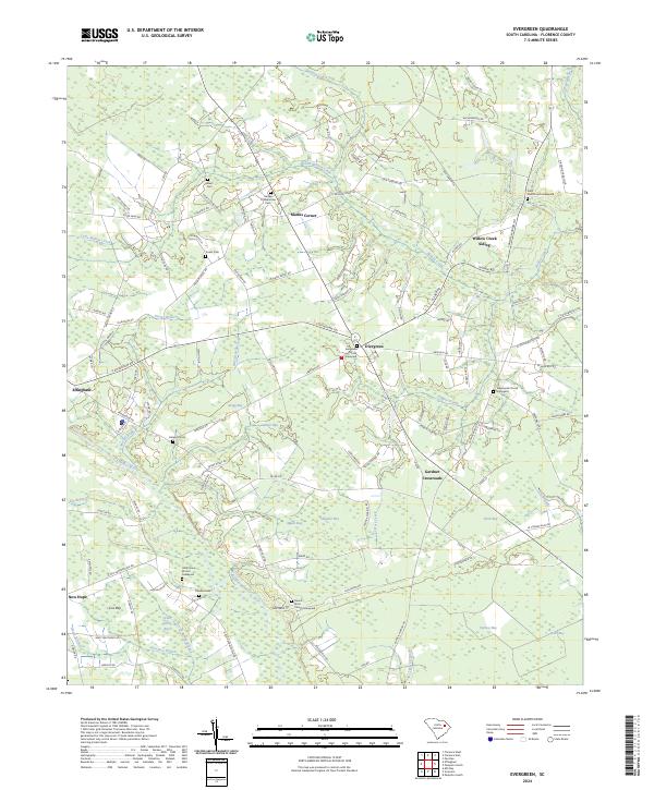
2024 Evergreen
Florence County, SC
2024 Florence East
Florence County, SC
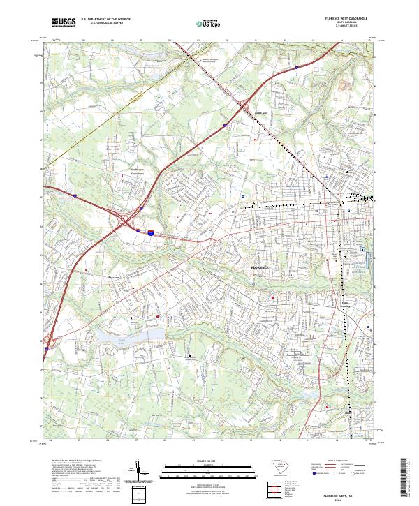
2024 Florence West
Florence County, SC
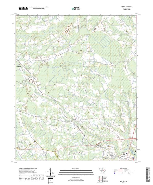
2024 Mill Bay
Florence County, SC
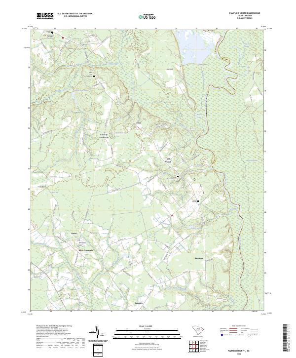
2024 Pamplico North
Florence County, SC
2024 Pamplico South
Florence County, SC
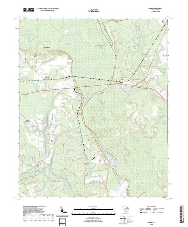
2024 Pee Dee
Florence County, SC
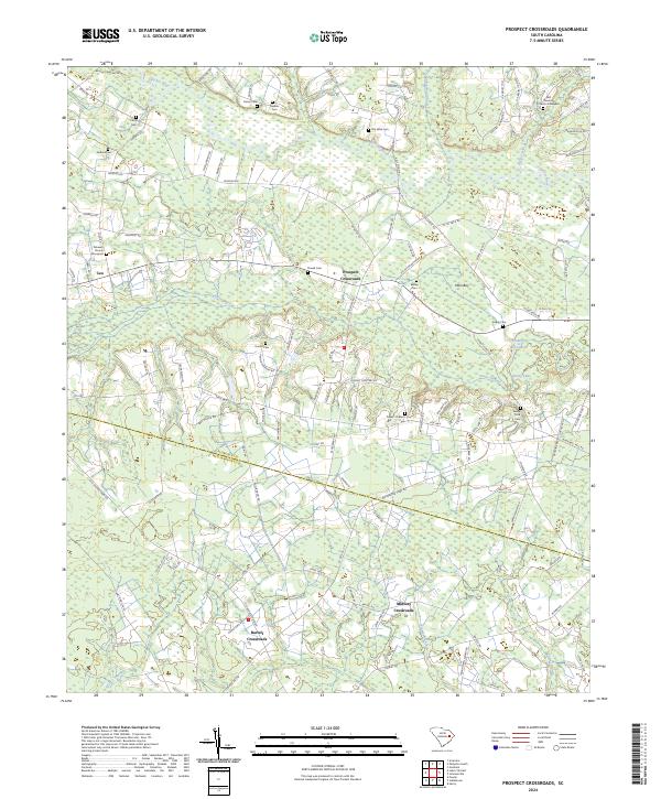
2024 Prospect Crossroads
Florence County, SC
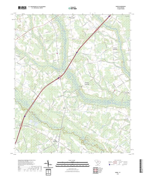
2024 Sardis
Florence County, SC