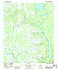
1986 Map of Pamplico North
USGS Topo · Published 1987About this map
Pamplico sits at the southern edge of this mid-1980s survey, marking a landscape where agricultural crossroads and deep swamp drainage systems define the local geography. The eastern boundary is dominated by the meandering Great Pee Dee River, which carves out the distinctive landform known as The Neck. This area reflects a traditional Pee Dee region settlement pattern, with small rural centers like Kennedy Crossroads, Gibbs Crossroads, and Davistown serving as focal points for the surrounding farmsteads.
Find a feature on this map
31 named features on this map. Tap any name to fly to it.
Don’t see what you’re looking for? This feature index may not catch every label — zoom into the map to look around manually.
Map Details
Editions of this 1986 Pamplico North Map
This is the sole edition of this map. No revisions or reprints were ever made.
Other maps of this area

1940 · Florence East
USGS Topo · 1:62,500

1945 · Florence East
USGS Topo · 1:62,500

1946 · Hyman
USGS Topo · 1:62,500

1946 · Johnsonville
USGS Topo · 1:62,500

1947 · Friendship
USGS Topo · 1:24,000

1947 · Marion
USGS Topo · 1:24,000

1949 · Georgetown
USGS Topo · 1:250,000

1953 · Florence
USGS Topo · 1:250,000

1954 · Florence
USGS Topo · 1:250,000

1967 · Georgetown
USGS Topo · 1:250,000