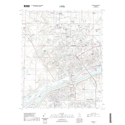
2021 Map of Florence
USGS Topo · Published 2021About this map
Florence and Sheffield anchor this detailed study of the Tennessee River corridor, where the waterway transitions into Pickwick Lake. The landscape is a mix of urban centers and historical rural footprints, notably preserved in the numerous burial grounds that document the area's complex social history. Genealogists can find distinct sites like the Hickory Hill Plantation Slave Cem, Jackson Plantation Black Cem, and Coffee Servants Cem.
Find a feature on this map
90 named features on this map. Tap any name to fly to it.
Don’t see what you’re looking for? This feature index may not catch every label — zoom into the map to look around manually.
Map Details
Editions of this 2021 Florence Map
This is the sole edition of this map. No revisions or reprints were ever made.
Other maps of this area

1914 · Muscle Shoals
USGS Topo · 1:48,000

1916 · Muscle Shoals
USGS Topo · 1:62,500

1924 · Tuscumbia
USGS Topo · 1:48,000

1924 · Gravelly Springs
USGS Topo · 1:48,000

1925 · Barton
USGS Topo · 1:62,500

1926 · Tuscumbia
USGS Topo · 1:62,500

1926 · Barton
USGS Topo · 1:48,000

1926 · Gravelly Springs
USGS Topo · 1:62,500

1929 · Barton
USGS Topo · 1:62,500

1936 · Pride
USGS Topo · 1:24,000