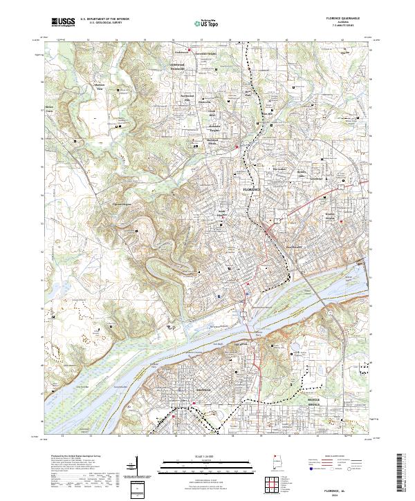
2024 Map of Florence
USGS Topo · Published 2024About this map
Florence and its neighboring river cities sit at a vital crossing of the Tennessee River, where industrial heritage meets deep archaeological roots. The map shows the urban landscape of Sheffield and Muscle Shoals south of the river, connected to Florence by multiple crossings near the prehistoric Waumanond Mound. This 2024 edition documents a complex social history through its extensive burial records, featuring diverse sites such as the Hickory Hill Plantation Slave Cem, Jackson Plantation Black Cem, and Coffee Servants Cem.
Find a feature on this map
94 named features on this map. Tap any name to fly to it.
Don’t see what you’re looking for? This feature index may not catch every label — zoom into the map to look around manually.
Map Details
Editions of this 2024 Florence Map
This is the sole edition of this map. No revisions or reprints were ever made.
Other maps of this area

1914 · Muscle Shoals
USGS Topo · 1:48,000

1916 · Muscle Shoals
USGS Topo · 1:62,500

1924 · Tuscumbia
USGS Topo · 1:48,000

1924 · Gravelly Springs
USGS Topo · 1:48,000

1925 · Barton
USGS Topo · 1:62,500

1926 · Tuscumbia
USGS Topo · 1:62,500

1926 · Barton
USGS Topo · 1:48,000

1926 · Gravelly Springs
USGS Topo · 1:62,500

1929 · Barton
USGS Topo · 1:62,500

1936 · Pride
USGS Topo · 1:24,000