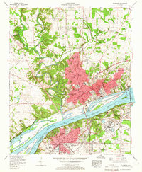
1957 Map of Florence
USGS Topo · Published 1966About this map
The Tennessee River serves as the industrial and geographic anchor of this mid-century survey, dividing the cities of Florence and Sheffield. The landscape is dominated by the massive Wilson Dam, which impounds the waters of Wilson Lake and powers the expansive US Nitrate Plant No 2. This era shows the Shoals region in a period of significant post-war infrastructure, where the Southern Railway and Louisville and Nashville Railroad networks converge near the river's edge.
Find a feature on this map
88 named features on this map. Tap any name to fly to it.
Don’t see what you’re looking for? This feature index may not catch every label — zoom into the map to look around manually.
Map Details
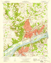
Editions of this 1957 Florence Map
2 editions found
Other maps of this area

1914 · Muscle Shoals
USGS Topo · 1:48,000

1916 · Muscle Shoals
USGS Topo · 1:62,500

1924 · Tuscumbia
USGS Topo · 1:48,000

1924 · Gravelly Springs
USGS Topo · 1:48,000

1925 · Barton
USGS Topo · 1:62,500

1926 · Tuscumbia
USGS Topo · 1:62,500

1926 · Barton
USGS Topo · 1:48,000

1926 · Gravelly Springs
USGS Topo · 1:62,500

1929 · Barton
USGS Topo · 1:62,500

1936 · Pride
USGS Topo · 1:24,000