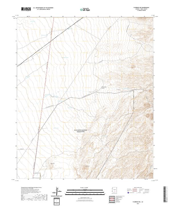
2021 Map of Florence NE
USGS Topo · Published 2021About this map
Pinal Pioneer Pkwy serves as the primary north-south artery through this arid Pinal County landscape, connecting the desert floor with the rising elevations to the east. The terrain is defined by dramatic geological features such as Black Hill and Dozer Hill, which overlook a network of seasonal water sources and drainage systems essential for regional land use. Local ranching or grazing history is evident through the naming of numerous water catchments, including Mormon Tank, Superior Tank, and Deep Well Tank, which are scattered across the townships.
Find a feature on this map
28 named features on this map. Tap any name to fly to it.
Don’t see what you’re looking for? This feature index may not catch every label — zoom into the map to look around manually.
Map Details
Editions of this 2021 Florence NE Map
This is the sole edition of this map. No revisions or reprints were ever made.
Other maps of this area

1900 · Florence
USGS Topo · 1:125,000

1902 · Florence
USGS Topo · 1:125,000

1948 · Superior
USGS Topo · 1:62,500

1948 · Picketpost Mtn
USGS Topo · 1:24,000

1949 · Picketpost Mtn
USGS Topo · 1:24,000

1954 · Mesa
USGS Topo · 1:250,000

1956 · Magma
USGS Topo · 1:24,000
1956 · Superstition Mts. SW
USGS Topo · 1:24,000

1957 · Mesa
USGS Topo · 1:250,000

1958 · Mesa
USGS Topo · 1:250,000