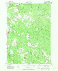
1955 Map of Florence
USGS Topo · Published 1969About this map
State Reforestation Area land dominates this section of Oneida and Lewis counties, where the high Tug Hill plateau begins its descent toward the Mohawk Valley. Small rural crossroads such as Forty Six Corners and Hanifin Corners dot the landscape, connected by the historical Military Road. The survey reveals a landscape of transition where mid-century reforestation efforts reclaimed land once used for timber and marginal farming.
Find a feature on this map
53 named features on this map. Tap any name to fly to it.
Don’t see what you’re looking for? This feature index may not catch every label — zoom into the map to look around manually.
Map Details
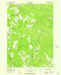
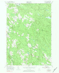
Editions of this 1955 Florence Map
Other maps of this area

1903 · Orwell
USGS Topo · 1:62,500

1905 · Orwell
USGS Topo · 1:62,500

1905 · Taberg
USGS Topo · 1:62,500

1906 · Highmarket
USGS Topo · 1:62,500

1906 · Kasoag
USGS Topo · 1:62,500

1942 · Redfield
USGS Topo · 1:24,000

1943 · Redfield
USGS Topo · 1:31,680

1943 · Westdale
USGS Topo · 1:31,680

1943 · Camden West
USGS Topo · 1:31,680

1943 · East Florence
USGS Topo · 1:31,680