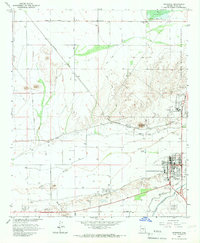
1965 Map of Florence
USGS Topo · Published 1967About this map
Florence serves as the focal point of this mid-1960s desert landscape, situated at the intersection of the Gila River and an extensive network of irrigation canals. The town’s social and economic infrastructure is marked by the presence of a Hospital, High School, and the nearby Ho No Kam Country Club. The surrounding area reflects a unique blend of civic and institutional land use, dominated by the State Prison on the eastern edge of the settlement and the Federal Prison Camp further north along the Florence Military Reservation.
Find a feature on this map
33 named features on this map. Tap any name to fly to it.
Don’t see what you’re looking for? This feature index may not catch every label — zoom into the map to look around manually.
Map Details
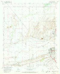
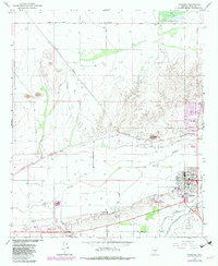
Editions of this 1965 Florence Map
3 editions found
Other maps of this area

1900 · Florence
USGS Topo · 1:125,000

1902 · Florence
USGS Topo · 1:125,000

1907 · Sacaton
USGS Topo · 1:62,500

1922 · Red Rock No 2
USGS Topo · 1:48,000

1922 · Signal Peak
USGS Topo · 1:62,500

1924 · Signal Peak
USGS Topo · 1:62,500

1934 · Newman Peak
USGS Topo · 1:125,000

1954 · Mesa
USGS Topo · 1:250,000

1956 · Sacaton NE
USGS Topo · 1:24,000

1956 · Magma
USGS Topo · 1:24,000