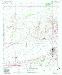
1965 Map of Florence
USGS Topo · Published 1982About this map
Florence and the historic settlement of Adamsville anchor this mid-1960s survey of the Gila River Valley, capturing the region's complex mix of agriculture and institutional development. The Gila River provides the central axis for a sophisticated irrigation network, including the North Side Canal, Casa Grande Canal, and Florence Canal, which supported the Arizona Farms Road area during this era of desert expansion. To the south, a portion of the Papago Indian Reservation is visible, while the landscape north of the river is dominated by significant state and federal facilities.
Find a feature on this map
33 named features on this map. Tap any name to fly to it.
Don’t see what you’re looking for? This feature index may not catch every label — zoom into the map to look around manually.
Map Details
Editions of this 1965 Florence Map
3 editions found
Other maps of this area

1900 · Florence
USGS Topo · 1:125,000

1902 · Florence
USGS Topo · 1:125,000

1907 · Sacaton
USGS Topo · 1:62,500

1922 · Red Rock No 2
USGS Topo · 1:48,000

1922 · Signal Peak
USGS Topo · 1:62,500

1924 · Signal Peak
USGS Topo · 1:62,500

1934 · Newman Peak
USGS Topo · 1:125,000

1954 · Mesa
USGS Topo · 1:250,000

1956 · Sacaton NE
USGS Topo · 1:24,000

1956 · Magma
USGS Topo · 1:24,000