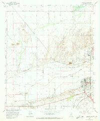
1965 Map of Florence
USGS Topo · Published 1973About this map
Gila River hydrology and extensive irrigation networks dominate this mid-century survey of Pinal County. The landscape is defined by the North Side Canal, Casa Grande Canal, and Florence Canal, which channel water across the desert flats south of the Magma Dam. The historic settlement of Florence serves as a regional hub, home to a High School, Hospital, and the State Prison. Further west, the map records the site of Adamsville, situated along the Adamsville Road. Transportation is anchored by the Southern Pacific railroad and the Hunt Highway, which skirt around prominent natural features like Poston Butte. To the east, the Florence Military Reservation and a Federal Prison Camp occupy the higher ground, illustrating the area's role in government and institutional land use during this era.
Find a feature on this map
25 named features on this map. Tap any name to fly to it.
Don’t see what you’re looking for? This feature index may not catch every label — zoom into the map to look around manually.
Map Details
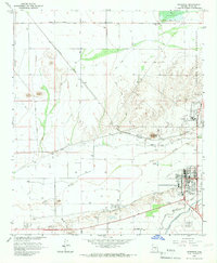
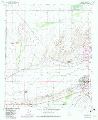
Editions of this 1965 Florence Map
3 editions found
Other maps of this area

1900 · Florence
USGS Topo · 1:125,000

1902 · Florence
USGS Topo · 1:125,000

1907 · Sacaton
USGS Topo · 1:62,500

1922 · Red Rock No 2
USGS Topo · 1:48,000

1922 · Signal Peak
USGS Topo · 1:62,500

1924 · Signal Peak
USGS Topo · 1:62,500

1934 · Newman Peak
USGS Topo · 1:125,000

1954 · Mesa
USGS Topo · 1:250,000

1956 · Sacaton NE
USGS Topo · 1:24,000

1956 · Magma
USGS Topo · 1:24,000