
1908 Map of Florence
USGS Topo · Published 1908About this map
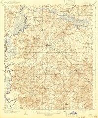
The Pearl River forms the western boundary of this 1906 survey, twisting through a landscape defined by its rail connections and rural institutional centers. The Gulf and Ship Island RR serves as a primary spine through the center of the sheet, passing through the village of Florence and the settlement at Star. To the north, the Alabama and Vicksburg RR skirts the State Farm, while the Illinois Central RR runs parallel to the river near Byram.
Find a feature on this map
82 named features on this map. Tap any name to fly to it.
Don’t see what you’re looking for? This feature index may not catch every label — zoom into the map to look around manually.
Map Details
Editions of this 1908 Florence Map
2 editions found
Other maps of this area

1903 · Jackson
USGS Topo · 1:125,000

1905 · Jackson
USGS Topo · 1:48,000

1906 · Florence
USGS Topo · 1:62,500

1908 · Jackson
USGS Topo · 1:62,500

1922 · Pelahatchee
USGS Topo · 1:48,000

1924 · Pelahatchee
USGS Topo · 1:62,500

1934 · Raymond
USGS Topo · 1:48,000

1937 · Raymond
USGS Topo · 1:62,500

1937 · Terry
USGS Topo · 1:48,000

1942 · Raymond
USGS Topo · 1:62,500