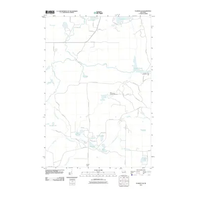
2010 Map of Florence SE
USGS Topo · Published 2010About this map
Pine River and its major tributaries define the water-rich landscape of southeastern Florence County in the early twenty-first century. The map centers on the Pine River Flowage, created by the Pine River Dam and the Pine River WP146 Dam, demonstrating the continued management of this watershed for hydroelectric power or water control. Further south, the Halls Creek Wildlife Flowage 3WR1799 Dam regulates Halls Creek, illustrating the integration of wetland management within the timbered terrain.
Find a feature on this map
56 named features on this map. Tap any name to fly to it.
Don’t see what you’re looking for? This feature index may not catch every label — zoom into the map to look around manually.
Map Details
Editions of this 2010 Florence SE Map
This is the sole edition of this map. No revisions or reprints were ever made.
Other maps of this area

1939 · Dunbar
USGS Topo · 1:48,000

1939 · Goodman
USGS Topo · 1:48,000

1939 · Iron Mountain
USGS Topo · 1:48,000

1941 · Florence
USGS Topo · 1:48,000

1941 · Dunbar
USGS Topo · 1:48,000

1941 · Iron Mountain
USGS Topo · 1:48,000

1946 · Goodman
USGS Topo · 1:48,000

1947 · Naults
USGS Topo · 1:24,000

1947 · Dunbar
USGS Topo · 1:48,000

1947 · Iron Mountain
USGS Topo · 1:48,000