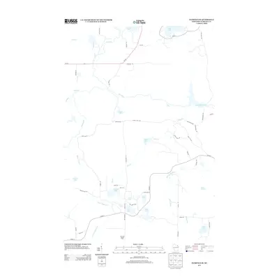
2013 Map of Florence SE
USGS Topo · Published 2013About this map
Bass Lake Lookout Tower stands as a primary landmark in this corner of Florence County, overlooking a landscape defined by its complex network of glacial lakes and river systems. The Pine River and Little Popple River meander through the territory, punctuated by hazardous stretches like Popple Rapids and Pine Rapids. The presence of the Pine River Flowage in the northeast indicates the management of these waters, while numerous smaller bodies such as Sea Lion Lake, Buckskin Lake, and Mirror Lake dot the interior, many accessible only via logging-style roads like White Pine Rd and Fire Lane Rd.
Find a feature on this map
60 named features on this map. Tap any name to fly to it.
Don’t see what you’re looking for? This feature index may not catch every label — zoom into the map to look around manually.
Map Details
Editions of this 2013 Florence SE Map
This is the sole edition of this map. No revisions or reprints were ever made.
Other maps of this area

1939 · Dunbar
USGS Topo · 1:48,000

1939 · Goodman
USGS Topo · 1:48,000

1939 · Iron Mountain
USGS Topo · 1:48,000

1941 · Florence
USGS Topo · 1:48,000

1941 · Dunbar
USGS Topo · 1:48,000

1941 · Iron Mountain
USGS Topo · 1:48,000

1946 · Goodman
USGS Topo · 1:48,000

1947 · Naults
USGS Topo · 1:24,000

1947 · Dunbar
USGS Topo · 1:48,000

1947 · Iron Mountain
USGS Topo · 1:48,000