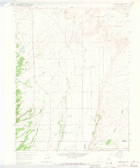
1959 Map of Florence SE
USGS Topo · Published 1965About this map
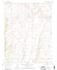
Union Highland Cem sits on the high ground of the northern plains, overlooking an intricate network of irrigation and natural drainage in the late 1950s. The landscape is defined by the heavy management of water, where the Minnequa Canal and Sikes and Chapson Ditch cut across the natural flow of Hardscrabble Creek and Mineral Creek. Local community life is anchored at the Mountain View Community Hall and the New Hope Ch, which stands near the southern boundary where the terrain begins to rise towards the Custer County line. This area reflects a transition from the municipal utility of the Florence City Water Reservoirs to the more agrarian reaches of Richie Gulch, documenting a period when small community landmarks and water rights shaped the local geography.
Find a feature on this map
20 named features on this map. Tap any name to fly to it.
Don’t see what you’re looking for? This feature index may not catch every label — zoom into the map to look around manually.
Map Details
Editions of this 1959 Florence SE Map
6 editions found
Other maps of this area

1889 · Canon City
USGS Topo · 1:125,000

1891 · Pueblo
USGS Topo · 1:125,000

1892 · Canon City
USGS Topo · 1:125,000

1894 · Pueblo
USGS Topo · 1:125,000

1896 · Pueblo
USGS Topo · 1:125,000

1897 · Pueblo
USGS Topo · 1:125,000

1954 · Pueblo
USGS Topo · 1:250,000

1957 · Pueblo
USGS Topo · 1:250,000

1958 · Pueblo
USGS Topo · 1:250,000

1959 · Florence
USGS Topo · 1:24,000