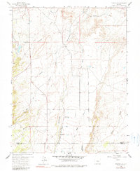
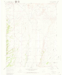
1959 Map of Florence SE
USGS Topo · Published 1990About this map
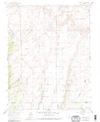
Hardscrabble Creek and its many tributaries, including Cocklebur Creek and Newlin Mineral Creek, dominate this high-plains landscape where three counties — Fremont, Custer, and Pueblo — converge. The map reflects a landscape defined by water management and rural community life in the late 1950s, evidenced by the Minnequa Canal and the complex Sikes and Chapson Ditch system. Local history and genealogy are anchored by landmarks like the Union Highland Cem in the northwest and the New Hope Ch further south. The presence of the Mountain View Community Hall and the Florence City Water Reservoirs underscores a period of established civic infrastructure serving the scattered ranching or farming properties of the high desert. Industrial activity is noted sparingly, such as a lone Gravel Pit, suggesting an economy primarily focused on the land and the vital irrigation routes of Adobe Creek and Richie Gulch.
Find a feature on this map
18 named features on this map. Tap any name to fly to it.
Don’t see what you’re looking for? This feature index may not catch every label — zoom into the map to look around manually.
Map Details
Editions of this 1959 Florence SE Map
6 editions found
Other maps of this area

1889 · Canon City
USGS Topo · 1:125,000

1891 · Pueblo
USGS Topo · 1:125,000

1892 · Canon City
USGS Topo · 1:125,000

1894 · Pueblo
USGS Topo · 1:125,000

1896 · Pueblo
USGS Topo · 1:125,000

1897 · Pueblo
USGS Topo · 1:125,000

1954 · Pueblo
USGS Topo · 1:250,000

1957 · Pueblo
USGS Topo · 1:250,000

1958 · Pueblo
USGS Topo · 1:250,000

1959 · Florence
USGS Topo · 1:24,000