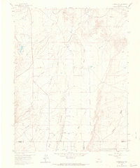
1959 Map of Florence SE
USGS Topo · Published 1965About this map
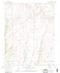
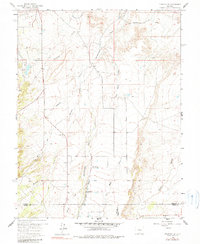
Hardscrabble Creek and Mineral Creek carve through this landscape at the junction of Fremont, Custer, and Pueblo counties. The map captures a transition from the drainage basins of the high country to the managed water systems of the plains, most notably shown by the Minnequa Canal and the Florence City Water Reservoirs. For genealogists and local historians, several community cornerstones are visible, including the Union Highland Cem in the north and the New Hope Ch further south. The presence of the Mountain View Community Hall and a Gravel Pit suggest a settled but primarily rural economy focused on land management and irrigation, evidenced by the numerous named drainages like Adobe Creek and Newlin Creek that define the local topography.
Find a feature on this map
20 named features on this map. Tap any name to fly to it.
Don’t see what you’re looking for? This feature index may not catch every label — zoom into the map to look around manually.
Map Details
Editions of this 1959 Florence SE Map
6 editions found
Other maps of this area

1889 · Canon City
USGS Topo · 1:125,000

1891 · Pueblo
USGS Topo · 1:125,000

1892 · Canon City
USGS Topo · 1:125,000

1894 · Pueblo
USGS Topo · 1:125,000

1896 · Pueblo
USGS Topo · 1:125,000

1897 · Pueblo
USGS Topo · 1:125,000

1954 · Pueblo
USGS Topo · 1:250,000

1957 · Pueblo
USGS Topo · 1:250,000

1958 · Pueblo
USGS Topo · 1:250,000

1959 · Florence
USGS Topo · 1:24,000