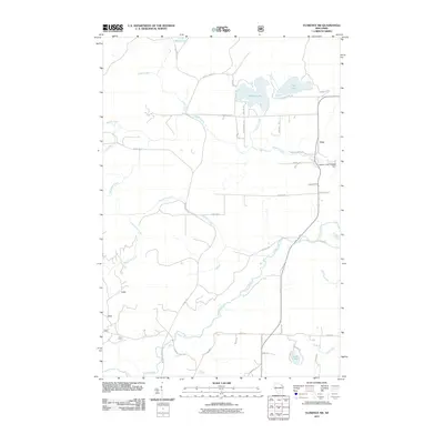
2011 Map of Florence SW
USGS Topo · Published 2011About this map
Popple River and its numerous tributaries, including Hendricks Creek and Haymarsh Creek, define the drainage patterns of this northern Wisconsin landscape. The small settlement of Fern serves as the primary community hub, situated near the eastern edge of the quadrangle where Town Hall Rd meets Woods Creek Rd. The region is characterized by a high density of water bodies and marshy lowlands, notably Patten Lake and Price Lake in the northeast.
Find a feature on this map
42 named features on this map. Tap any name to fly to it.
Don’t see what you’re looking for? This feature index may not catch every label — zoom into the map to look around manually.
Map Details
Editions of this 2011 Florence SW Map
This is the sole edition of this map. No revisions or reprints were ever made.
Other maps of this area

1939 · Goodman
USGS Topo · 1:48,000

1939 · Laona
USGS Topo · 1:48,000

1939 · Long Lake
USGS Topo · 1:48,000

1941 · Florence
USGS Topo · 1:48,000

1946 · Laona
USGS Topo · 1:48,000

1946 · Goodman
USGS Topo · 1:48,000

1947 · Naults
USGS Topo · 1:24,000

1947 · Stager
USGS Topo · 1:24,000

1948 · Long Lake
USGS Topo · 1:48,000

1954 · Iron Mountain
USGS Topo · 1:250,000