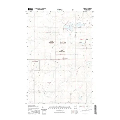
2015 Map of Florence SW
USGS Topo · Published 2015About this map
The Nicolet National Forest encompasses much of this landscape in Florence County, revealing a terrain defined by its dense network of waterways and glacial lakes. Centered on the small settlement of Fern, the area is a complex of wetlands and timberland, drained by the meandering Popple River and Woods Cr. The map shows a transition from the structured forestry of the national forest to the scattered private holdings and seasonal retreats surrounding Patten Lake and Price Lake.
Find a feature on this map
50 named features on this map. Tap any name to fly to it.
Don’t see what you’re looking for? This feature index may not catch every label — zoom into the map to look around manually.
Map Details
Editions of this 2015 Florence SW Map
This is the sole edition of this map. No revisions or reprints were ever made.
Other maps of this area

1939 · Goodman
USGS Topo · 1:48,000

1939 · Laona
USGS Topo · 1:48,000

1939 · Long Lake
USGS Topo · 1:48,000

1941 · Florence
USGS Topo · 1:48,000

1946 · Laona
USGS Topo · 1:48,000

1946 · Goodman
USGS Topo · 1:48,000

1947 · Naults
USGS Topo · 1:24,000

1947 · Stager
USGS Topo · 1:24,000

1948 · Long Lake
USGS Topo · 1:48,000

1954 · Iron Mountain
USGS Topo · 1:250,000