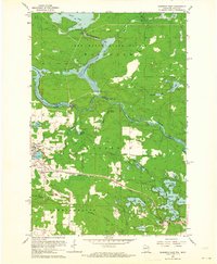
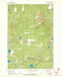
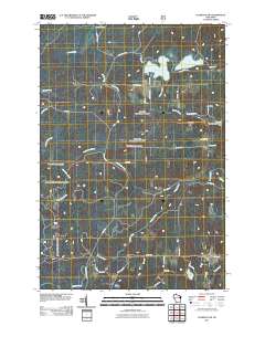
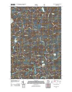
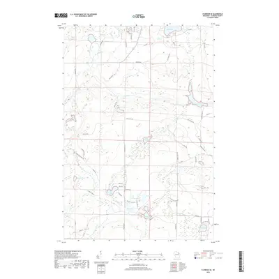
1962 Map of Florence SW
USGS Topo · Published 1981About this map
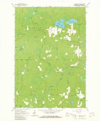
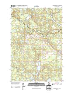
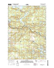
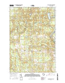
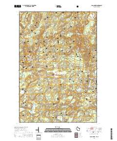
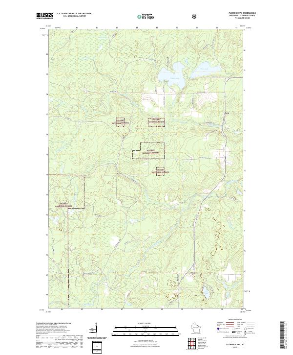
The northern reaches of the Nicolet National Forest dominate this early 1960s landscape, where a dense network of waterways defines the terrain. The small community of Fern is the primary settlement, situated along a north-south roadway near the eastern boundary. The topography is shaped by the winding Popple River, featuring several distinct water-level drops such as the Popple Rapids and Popple River Rapids. This area is characterized by its numerous glacial lakes and creeks, including the interconnected Patten Lake and Price Lake to the north, and the more secluded Lund Lake to the south. Local industrial activity is limited to small-scale extraction, evidenced by several scattered Gravel Pit sites. The map also highlights public recreation areas like the Roadside Park, providing a view of the forest and river systems before significant modern development altered these wilder corridors of Florence County.
Find a feature on this map
24 named features on this map. Tap any name to fly to it.
Don’t see what you’re looking for? This feature index may not catch every label — zoom into the map to look around manually.
Map Details
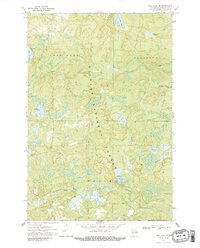
Editions of this 1962 Florence SW Map
2 editions found
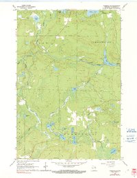
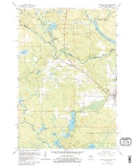
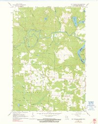
Historical Maps of Florence Through Time
44 maps found
1947 Stager
Florence County, WI
1949 Commonwealth
Florence County, WI
1962 Florence East
Florence County, WI
1962 Florence SE
Florence County, WI
1962 Florence SW
Florence County, WI
1962 Florence West
Florence County, WI
1962 Iron Mountain SW
Florence County, WI
1970 Long Lake NE
Florence County, WI
1970 Long Lake SE
Florence County, WI
2010 Florence SE
Florence County, WI
2011 Florence East
Florence County, WI
2011 Florence SW
Florence County, WI
2011 Florence West
Florence County, WI
2011 Iron Mountain SW
Florence County, WI
2011 Long Lake NE
Florence County, WI
2011 Long Lake SE
Florence County, WI
2013 Florence East
Florence County, WI
2013 Florence SE
Florence County, WI
2013 Florence SW
Florence County, WI
2013 Florence West
Florence County, WI
2013 Iron Mountain SW
Florence County, WI
2013 Long Lake NE
Florence County, WI
2013 Long Lake SE
Florence County, WI
2015 Florence East
Florence County, WI
2015 Florence SE
Florence County, WI
2015 Florence SW
Florence County, WI
2015 Florence West
Florence County, WI
2015 Iron Mountain SW
Florence County, WI
2015 Long Lake NE
Florence County, WI
2015 Long Lake SE
Florence County, WI
2018 Florence East
Florence County, WI
2018 Florence SE
Florence County, WI
2018 Florence SW
Florence County, WI
2018 Florence West
Florence County, WI
2018 Iron Mountain SW
Florence County, WI
2018 Long Lake NE
Florence County, WI
2018 Long Lake SE
Florence County, WI
2022 Florence East
Florence County, WI
2022 Florence SE
Florence County, WI
2022 Florence SW
Florence County, WI
2022 Florence West
Florence County, WI
2022 Iron Mountain SW
Florence County, WI
2022 Long Lake NE
Florence County, WI
2022 Long Lake SE
Florence County, WI