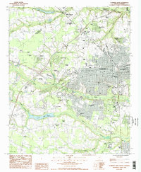
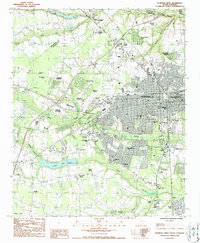
1986 Map of Florence West
USGS Topo · Published 1987About this map
The expanding municipal footprint of Florence in the mid-1980s is defined by a dense network of suburban developments like Windsor Forest, Grove Park, and Spaulding Heights. This transition from rural agriculture to residential growth is anchored by significant institutional landmarks, including the McLeod Mem Hosp complex and Florence-Darlington Technical College. The map highlights a rich religious and civic landscape, featuring numerous churches such as Wayside Chapel and Grace Orthodox Ch, alongside the historic National Cem.
Find a feature on this map
60 named features on this map. Tap any name to fly to it.
Don’t see what you’re looking for? This feature index may not catch every label — zoom into the map to look around manually.
Map Details
Editions of this 1986 Florence West Map
2 editions found
Other maps of this area

1940 · Florence West
USGS Topo · 1:62,500

1940 · Florence East
USGS Topo · 1:62,500

1943 · Gum Swamp
USGS Topo · 1:62,500

1945 · Florence East
USGS Topo · 1:62,500

1945 · Florence West
USGS Topo · 1:62,500

1953 · Florence
USGS Topo · 1:250,000

1954 · Florence
USGS Topo · 1:250,000

1963 · Darlington East
USGS Topo · 1:24,000

1963 · Darlington West
USGS Topo · 1:24,000
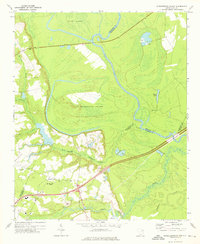
1972 · Witherspoon Island
USGS Topo · 1:24,000