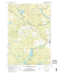
1962 Map of Florence West
USGS Topo · Published 1979About this map
The Brule River forms a jagged natural boundary between Wisconsin and Michigan on this 1962 survey, where timberlands and waterways define the regional character. The Mastodon State Forest dominates the northern reaches, flanking the Paint River Pond and the turbulent Horserace Rapids. To the south, the village of Florence serves as the focal point of the Iron Range, showing a cluster of residential blocks and local landmarks like St Marys Cem and American Legion Park. The industrial footprint of the era is evident in several mines and gravel pits scattered near the Chicago and North Western railroad line. Settlement patterns follow the rail corridor through rural stops like Stager and Tyran, while numerous named bodies of water such as Keyes Lake and Loon Lake suggest a landscape deeply tied to both extraction and woodland recreation.
Find a feature on this map
38 named features on this map. Tap any name to fly to it.
Don’t see what you’re looking for? This feature index may not catch every label — zoom into the map to look around manually.
Map Details
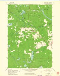
Editions of this 1962 Florence West Map
2 editions found
Other maps of this area

1899 · Sagola
USGS Topo · 1:62,500

1899 · Crystal Falls
USGS Topo · 1:62,500

1939 · Iron Mountain
USGS Topo · 1:48,000

1941 · Florence
USGS Topo · 1:48,000

1941 · Iron Mountain
USGS Topo · 1:48,000

1944 · Crystal Falls
USGS Topo · 1:24,000

1944 · Fortune Lakes
USGS Topo · 1:24,000

1946 · Crystal Falls
USGS Topo · 1:31,680

1946 · Fortune Lakes
USGS Topo · 1:31,680

1947 · Naults
USGS Topo · 1:24,000