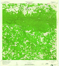
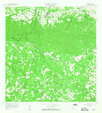
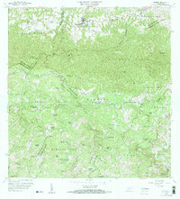
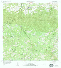
1957 Map of Florida
USGS Topo · Published 1961About this map
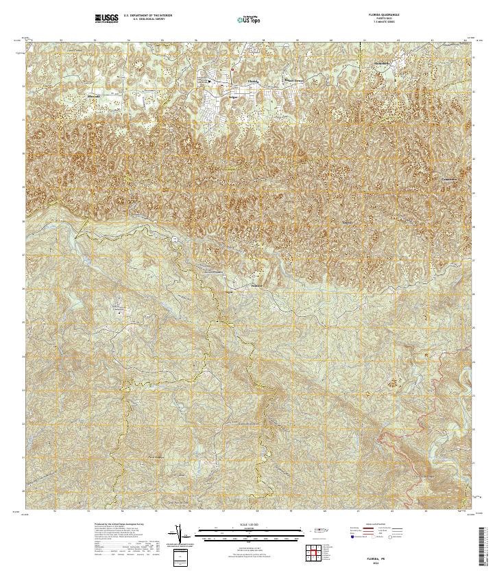
The town of Florida and its surrounding highlands in central Puerto Rico appear here at a moment of transition during the mid-20th century. While the town center is clearly established in the north, the landscape is defined by its agricultural legacy, with numerous named haciendas such as Hacienda San José and Hacienda Piedra Gorda scattered across the interior. The map illustrates a complex network of municipal boundaries, including Municipio de Arecibo and Municipio de Ciales, indicating the intricate administrative and social divisions of the era.
Find a feature on this map
75 named features on this map. Tap any name to fly to it.
Don’t see what you’re looking for? This feature index may not catch every label — zoom into the map to look around manually.
Map Details
Editions of this 1957 Florida Map
4 editions found
Historical Maps of Florida Through Time
6 maps found


Featured Locations
- Hacienda San José, Arecibo
- Montaña, Arecibo
- Sector El Hueco, Jayuya
- Florida, Florida
- Cruce Cialitos, Ciales