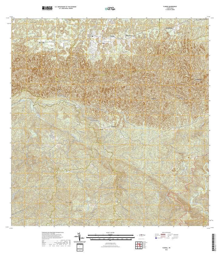
1957 Map of Florida
USGS Topo · Published 1986About this map
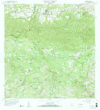
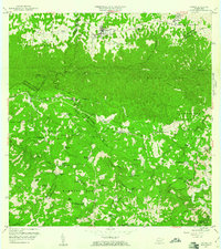
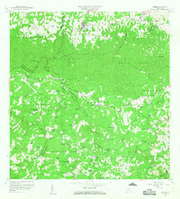
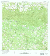
Florida and its surrounding barrios are depicted in this 1957 revision, showcasing a landscape defined by traditional agricultural estates and growing municipal identities. The region is dotted with numerous haciendas, such as Hacienda San José, Hacienda Piedra Gorda, and Hacienda Santa Bárbara, indicating the enduring importance of large-scale landholdings in the local economy during the mid-twentieth century. These namesake estates are concentrated along the winding paths of the Río Grande de Manatí and its tributaries, including Quebrada Yunes.
Find a feature on this map
75 named features on this map. Tap any name to fly to it.
Don’t see what you’re looking for? This feature index may not catch every label — zoom into the map to look around manually.
Map Details
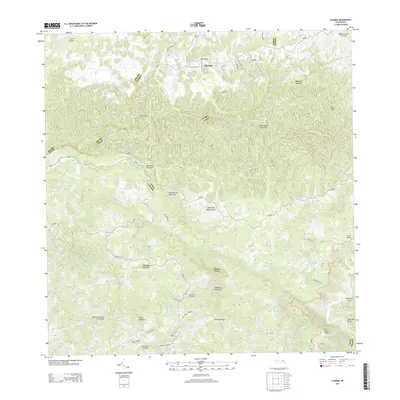
Editions of this 1957 Florida Map
4 editions found
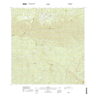
Historical Maps of Florida Through Time
6 maps found


Featured Locations
- Hacienda San José, Arecibo
- Montaña, Arecibo
- Sector El Hueco, Jayuya
- Florida, Florida
- Cruce Cialitos, Ciales