Loading...
Loading map...1957 Map of Florida
USGS Topo · Published 1968About this map
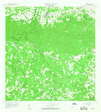
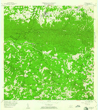
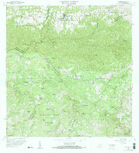
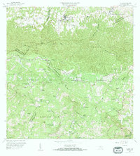
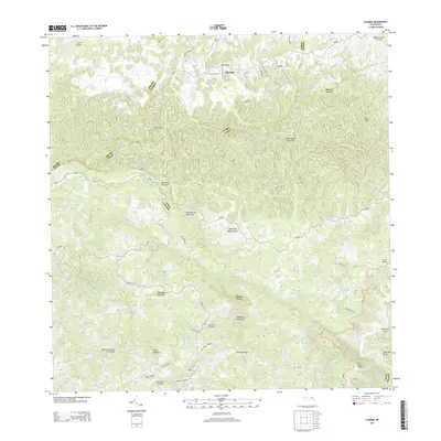
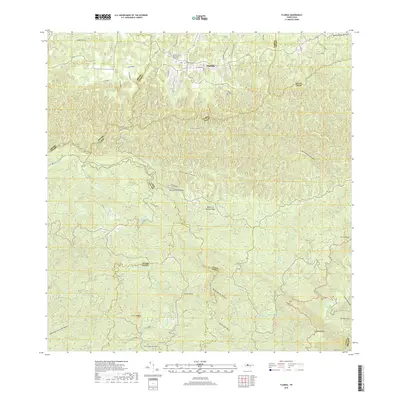
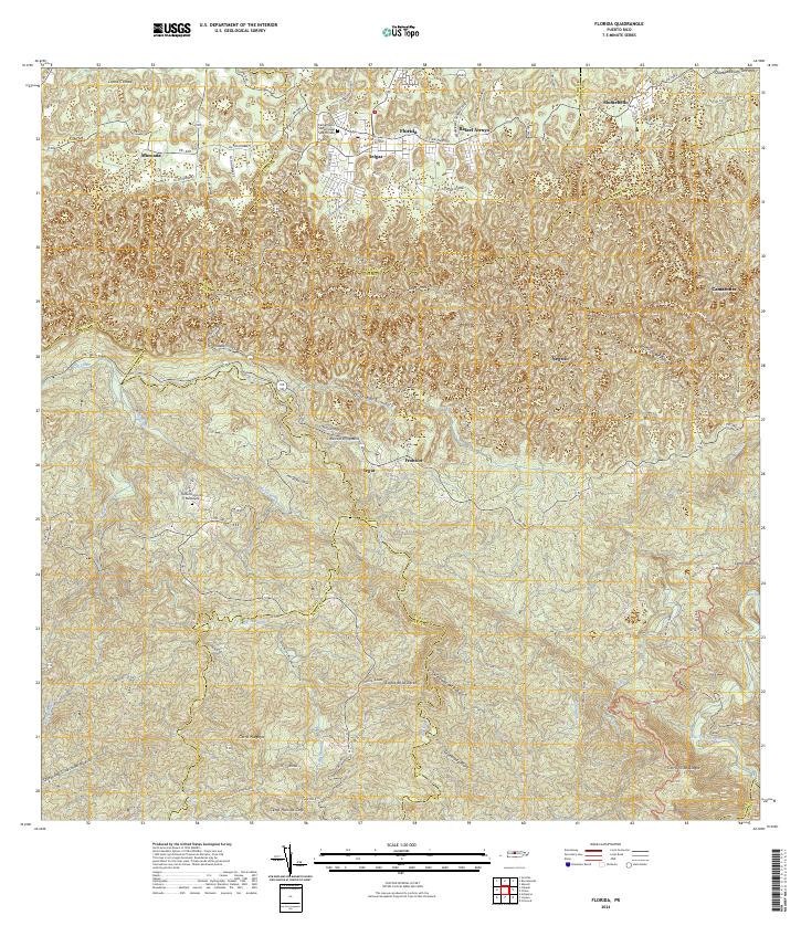
The agrarian heart of central Puerto Rico is documented here in a detailed survey revised in 1957. The landscape is defined by the traditional Hacienda system, where dozens of named estates such as Hacienda Piedra Gorda, Hacienda La Isolina, and Hacienda Butler are scattered across the valley floors and foothills. These labels provide a critical window into the land ownership and economic structure of the mid-20th century before the era of intensive industrialization.
Find a feature on this map
71 named features on this map. Tap any name to fly to it.
Don’t see what you’re looking for? This feature index may not catch every label — zoom into the map to look around manually.
Map Details
Date Portrayed1957
Date Published1968
PublisherU.S. Geological Survey
Map TypeTopographic
Scale1:20,000
Physical Dimensions29.3 x 32.4 inches
Editions of this 1957 Florida Map
4 editions found
Historical Maps of Florida Through Time
6 maps found


Featured Locations
- Hacienda San José, Arecibo
- Montaña, Arecibo
- Sector El Hueco, Jayuya
- Florida, Florida
- Cruce Cialitos, Ciales
Source Details
SourceU.S. Geological Survey
CopyrightPublic Domain