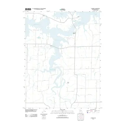
2012 Map of Florida
USGS Topo · Published 2012About this map
Mark Twain Lake dominates this corner of Monroe County, its intricate shoreline carving out a landscape of deep inlets and prominent points. The small settlement of Florida sits near the northern reaches of the reservoir, while the community of Victor is situated further south along the western banks. The geography here is defined by the inundation of the South Fork Salt River and its numerous tributaries, including Pigeon Roost Creek, Ivy Branch, and Bear Branch.
Find a feature on this map
54 named features on this map. Tap any name to fly to it.
Don’t see what you’re looking for? This feature index may not catch every label — zoom into the map to look around manually.
Map Details
Editions of this 2012 Florida Map
This is the sole edition of this map. No revisions or reprints were ever made.
Other maps of this area

1890 · Mexico
USGS Topo · 1:125,000

1903 · Palmyra
USGS Topo · 1:125,000

1945 · Florida
USGS Topo · 1:62,500

1945 · Perry
USGS Topo · 1:62,500

1948 · Quincy
USGS Topo · 1:250,000

1956 · Quincy
USGS Topo · 1:250,000

1959 · Joanna
USGS Topo · 1:24,000
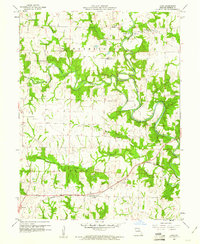
1960 · Goss
USGS Topo · 1:24,000
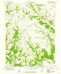
1960 · Stoutsville
USGS Topo · 1:24,000
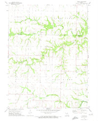
1972 · Molino
USGS Topo · 1:24,000