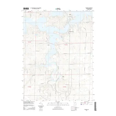
2015 Map of Florida
USGS Topo · Published 2015About this map
Mark Twain Lake dominates this landscape in Monroe County, with its intricate fingers and coves shaping the local geography. The village of Florida sits on a peninsula between the main lake body and Lake Tony Sawyer, while the settlement of Victor is situated further south along the western banks of the reservoir. This modern digital survey by the U.S. Geological Survey details the extensive network of rural roads, such as Monroe Road 684 and Monroe Road 477, that navigate the complex shoreline and interior uplands.
Find a feature on this map
53 named features on this map. Tap any name to fly to it.
Don’t see what you’re looking for? This feature index may not catch every label — zoom into the map to look around manually.
Map Details
Editions of this 2015 Florida Map
This is the sole edition of this map. No revisions or reprints were ever made.
Other maps of this area

1890 · Mexico
USGS Topo · 1:125,000

1903 · Palmyra
USGS Topo · 1:125,000

1945 · Florida
USGS Topo · 1:62,500

1945 · Perry
USGS Topo · 1:62,500

1948 · Quincy
USGS Topo · 1:250,000

1956 · Quincy
USGS Topo · 1:250,000

1959 · Joanna
USGS Topo · 1:24,000
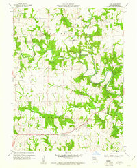
1960 · Goss
USGS Topo · 1:24,000
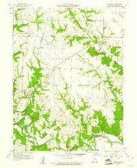
1960 · Stoutsville
USGS Topo · 1:24,000
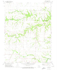
1972 · Molino
USGS Topo · 1:24,000