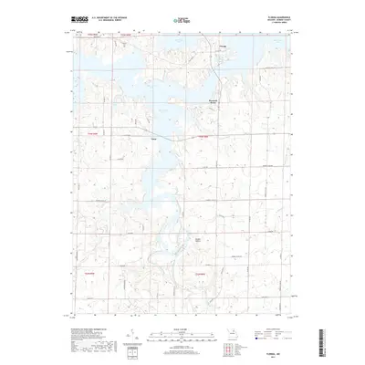
2017 Map of Florida
USGS Topo · Published 2017About this map
Florida and the surrounding Monroe County landscape are defined by the extensive reach of Mark Twain Lake, which dominates the northern and central portions of this terrain. The map documents the intricate shoreline and numerous creek branches that feed the reservoir, including Carr Br and Ivy Br. Small settlements such as Buzzards Roost and Victor sit amidst a network of county roads, while Hawkins Cem in the northwest provides a point of interest for genealogists tracking local families. South of the lake, the South Fork Salt River meanders through more wooded and hilly sections like Vaughn Hollow. This 2017 data captures the contemporary balance between recreational water bodies, such as Lake Tom Sawyer, and the traditional rural road system that has served these Missouri communities for generations.
Find a feature on this map
57 named features on this map. Tap any name to fly to it.
Don’t see what you’re looking for? This feature index may not catch every label — zoom into the map to look around manually.
Map Details
Editions of this 2017 Florida Map
This is the sole edition of this map. No revisions or reprints were ever made.
Other maps of this area

1890 · Mexico
USGS Topo · 1:125,000

1903 · Palmyra
USGS Topo · 1:125,000

1945 · Florida
USGS Topo · 1:62,500

1945 · Perry
USGS Topo · 1:62,500

1948 · Quincy
USGS Topo · 1:250,000

1956 · Quincy
USGS Topo · 1:250,000

1959 · Joanna
USGS Topo · 1:24,000
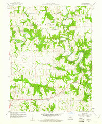
1960 · Goss
USGS Topo · 1:24,000
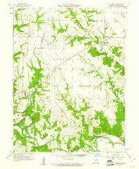
1960 · Stoutsville
USGS Topo · 1:24,000
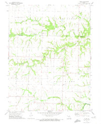
1972 · Molino
USGS Topo · 1:24,000