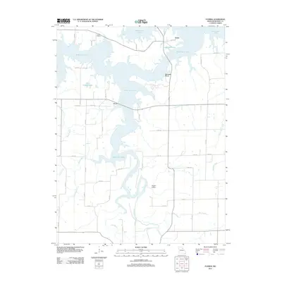
2021 Map of Florida
USGS Topo · Published 2021About this map
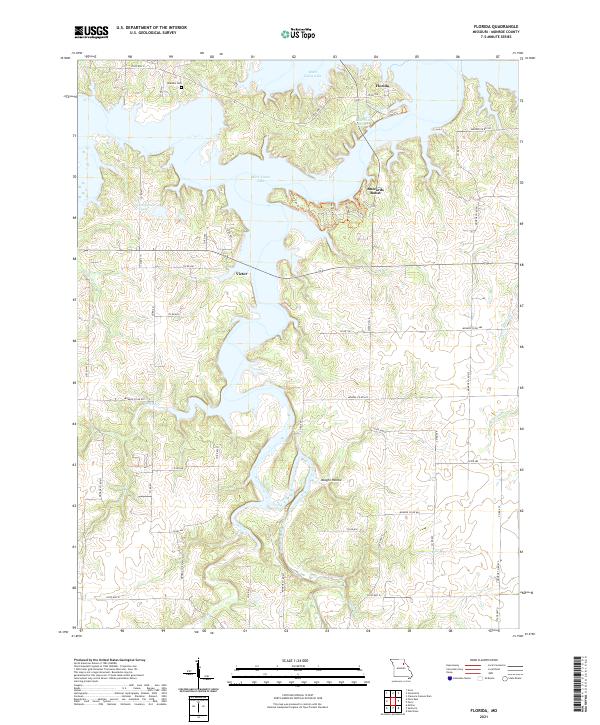
Florida and Victor anchor this landscape where the undulating waters of Mark Twain Lake fill the valleys of the South Fork Salt River. The terrain is defined by a dense network of winding creeks and branches, including Pigeon Roost Cr, Smiley Br, and Bear Br, which feed into the primary reservoir. Higher ground is marked by features like Buzzards Roost and the quiet drainage of Vaughn Hollow. Historical traces remain visible in the placement of Hawkins Cem and the small-scale impoundments of Lake Tom Sawyer and Jack Simpson Lake. The area's character is shaped by the transition from upland ridges to the sprawling fingers of the lake, connected by a web of county roads such as Monroe Co Rd 670 and State Hwy E that trace the high ridges between the water.
Find a feature on this map
60 named features on this map. Tap any name to fly to it.
Don’t see what you’re looking for? This feature index may not catch every label — zoom into the map to look around manually.
Map Details
Editions of this 2021 Florida Map
This is the sole edition of this map. No revisions or reprints were ever made.
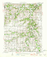
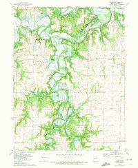
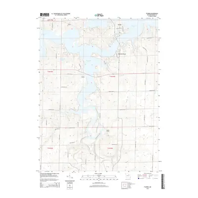
Historical Maps of Buzzards Roost Through Time
6 maps found