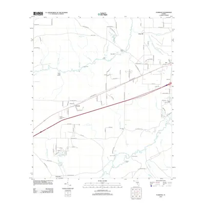
2012 Map of Floridale
USGS Topo · Published 2012About this map
The Blackwater River and Yellow River systems define the landscape of this Santa Rosa County corridor, where several small communities are connected by a network of rural roads and timberlands. Floridale sits at the center of this sheet, while Holt occupies the eastern edge along a major transportation route. The prevalence of water-associated landmarks, such as Riley Landing, Garnier Landing, and Sweetgum Landing, points to the historical importance of these riverbanks for commerce and local transit.
Find a feature on this map
104 named features on this map. Tap any name to fly to it.
Don’t see what you’re looking for? This feature index may not catch every label — zoom into the map to look around manually.
Map Details
Editions of this 2012 Floridale Map
This is the sole edition of this map. No revisions or reprints were ever made.
Other maps of this area

1934 · Holt
USGS Topo · 1:48,000

1934 · Harold
USGS Topo · 1:62,500

1937 · Holt
USGS Topo · 1:62,500

1937 · Harold
USGS Topo · 1:62,500

1938 · Harold
USGS Topo · 1:62,500

1948 · Munson
USGS Topo · 1:62,500

1949 · Crestview
USGS Topo · 1:62,500

1950 · Munson
USGS Topo · 1:62,500

1951 · Crestview
USGS Topo · 1:62,500

1956 · Holt
USGS Topo · 1:62,500