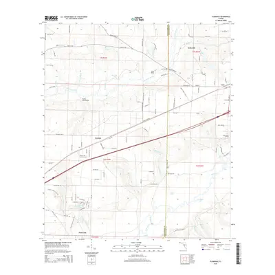
2015 Map of Floridale
USGS Topo · Published 2015About this map
The Blackwater River and Yellow River systems converge in this part of Florida, defining a landscape of creek-fed bottoms and scattered rural outposts. Floridale and Parkerville sit amidst a network of timber and farm roads, while the community of Holt anchors the eastern edge of the quadrangle. Local aviation history is marked by the George T Mc Cutchan Airport and the Yellow River Airstrip, reflecting the area's transition towards modern utility alongside its traditional river-based identity.
Find a feature on this map
107 named features on this map. Tap any name to fly to it.
Don’t see what you’re looking for? This feature index may not catch every label — zoom into the map to look around manually.
Map Details
Editions of this 2015 Floridale Map
This is the sole edition of this map. No revisions or reprints were ever made.
Other maps of this area

1934 · Holt
USGS Topo · 1:48,000

1934 · Harold
USGS Topo · 1:62,500

1937 · Holt
USGS Topo · 1:62,500

1937 · Harold
USGS Topo · 1:62,500

1938 · Harold
USGS Topo · 1:62,500

1948 · Munson
USGS Topo · 1:62,500

1949 · Crestview
USGS Topo · 1:62,500

1950 · Munson
USGS Topo · 1:62,500

1951 · Crestview
USGS Topo · 1:62,500

1956 · Holt
USGS Topo · 1:62,500