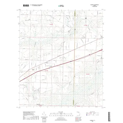
2018 Map of Floridale
USGS Topo · Published 2018About this map
Blackwater River and the Yellow River dominate this portion of the Florida Panhandle, carving a landscape defined by expansive wetlands and low-lying river bottoms. The northern half of the map is characterized by the high ground of Riley Bluff and the drainage of numerous creeks like Bone Creek and Wolf Trap Branch. The small community of Kellys Mill sits near the headwaters of Adams Mill Creek, reflecting the historic importance of water-driven industry in the region.
Find a feature on this map
146 named features on this map. Tap any name to fly to it.
Don’t see what you’re looking for? This feature index may not catch every label — zoom into the map to look around manually.
Map Details
Editions of this 2018 Floridale Map
This is the sole edition of this map. No revisions or reprints were ever made.
Other maps of this area

1934 · Holt
USGS Topo · 1:48,000

1934 · Harold
USGS Topo · 1:62,500

1937 · Holt
USGS Topo · 1:62,500

1937 · Harold
USGS Topo · 1:62,500

1938 · Harold
USGS Topo · 1:62,500

1948 · Munson
USGS Topo · 1:62,500

1949 · Crestview
USGS Topo · 1:62,500

1950 · Munson
USGS Topo · 1:62,500

1951 · Crestview
USGS Topo · 1:62,500

1956 · Holt
USGS Topo · 1:62,500