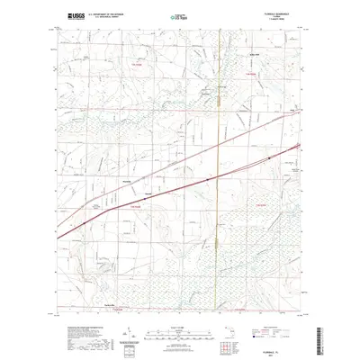
2021 Map of Floridale
USGS Topo · Published 2021About this map
Harold and Floridale sit along the primary east-west transport corridor of Santa Rosa County, where the landscape transitions from high ground toward the sprawling wetlands of the Yellow River. This modern survey details a complex network of forest roads and creek crossings, such as Kellys Mill and Adams Mill Creek, reflecting a region defined by historical timber and water-powered industries. The terrain is marked by significant drainages like Garnier Creek and the Blackwater River, which carve through the sandy bluffs. Cultural landmarks like Pleasant Home Cemetery and New Canoe Cemetery provide essential touchpoints for genealogical research, while aviation sites like the George T Mc Cutchan Airport and the Yellow River Airstrip highlight the modern utility of the area. Small communities such as Parkerville and Holt remain anchored to the road and rail network that crosses the various branches of the Garnier Creek and Julian Mill Creek.
Find a feature on this map
170 named features on this map. Tap any name to fly to it.
Don’t see what you’re looking for? This feature index may not catch every label — zoom into the map to look around manually.
Map Details
Editions of this 2021 Floridale Map
This is the sole edition of this map. No revisions or reprints were ever made.
Other maps of this area

1934 · Holt
USGS Topo · 1:48,000

1934 · Harold
USGS Topo · 1:62,500

1937 · Holt
USGS Topo · 1:62,500

1937 · Harold
USGS Topo · 1:62,500

1938 · Harold
USGS Topo · 1:62,500

1948 · Munson
USGS Topo · 1:62,500

1949 · Crestview
USGS Topo · 1:62,500

1950 · Munson
USGS Topo · 1:62,500

1951 · Crestview
USGS Topo · 1:62,500

1956 · Holt
USGS Topo · 1:62,500