
1954 Map of Florien
USGS Topo · Published 1958About this map
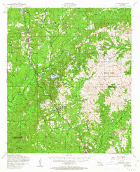
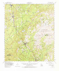
Fisher and Florien anchor this mid-1950s landscape, where the Kansas City Southern railroad dictates the line of settlement through the piney woods of Sabine and Vernon Parishes. The survey captures a moment of significant transition, particularly within the Fort Polk Military Reservation, where an Artillery Range and Peason Ridge dominate the eastern topography. The map reveals an extensive network of rural congregations such as Cypress Toro Church and New Pleasant View Church, alongside legacy landmarks like the Peason Fire Tower.
Find a feature on this map
59 named features on this map. Tap any name to fly to it.
Don’t see what you’re looking for? This feature index may not catch every label — zoom into the map to look around manually.
Map Details
Editions of this 1954 Florien Map
3 editions found
Other maps of this area

1937 · Bellwood
USGS Topo · 1:31,680

1941 · Leesville
USGS Topo · 1:62,500

1941 · Zwolle
USGS Topo · 1:62,500

1941 · Slagle
USGS Topo · 1:62,500

1942 · Many
USGS Topo · 1:62,500

1942 · Florien
USGS Topo · 1:62,500

1942 · Kisatchie
USGS Topo · 1:62,500

1943 · Leesville
USGS Topo · 1:62,500

1943 · Many
USGS Topo · 1:62,500

1943 · Kisatchie
USGS Topo · 1:62,500