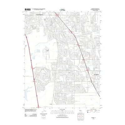
2012 Map of Florin
USGS Topo · Published 2012About this map
Elk Grove and its surrounding suburban extensions define this early 21st-century landscape south of Sacramento. The area shows a dense network of residential development transitioning into the open lands near North Stone Lake to the southwest. Significant local landmarks such as the Frasinetti Winery and South East Lawn Memorial Park appear alongside established neighborhoods like Laguna West and Camden. The map captures the complex hydrology of the region, where numerous small waterways including Florin Cr, Elder Cr, and Laguna Cr intersect the expanding road grid. Traces of the area's older identity are preserved at the San Joaquin Cem and the Masonic Cem, offering fixed points of reference amidst the rapidly growing residential sectors of Florin and Pollock.
Find a feature on this map
25 named features on this map. Tap any name to fly to it.
Don’t see what you’re looking for? This feature index may not catch every label — zoom into the map to look around manually.
Map Details
Editions of this 2012 Florin Map
This is the sole edition of this map. No revisions or reprints were ever made.
Other maps of this area

1891 · Sacramento
USGS Topo · 1:125,000

1892 · Sacramento
USGS Topo · 1:125,000

1893 · Sacramento
USGS Topo · 1:125,000

1894 · Lodi
USGS Topo · 1:125,000

1902 · Fairoaks
USGS Topo · 1:62,500

1907 · Davisville
USGS Topo · 1:62,500

1908 · Courtland
USGS Topo · 1:62,500

1909 · Elk Grove
USGS Topo · 1:31,680

1909 · Florin
USGS Topo · 1:31,680

1910 · Bruceville
USGS Topo · 1:31,680