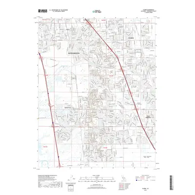
2018 Map of Florin
USGS Topo · Published 2018About this map
Sacramento and its southern suburbs are captured here during a period of significant residential expansion. The landscape is defined by the transition from established communities like Florin and Elk Grove into newer master-planned developments such as Laguna West and Laguna. This late-2010s era shows the dense grid of suburban streets and major thoroughfares like Laguna Blvd and Whitelock Pkwy as they integrate with the natural drainage systems of Laguna Creek and Morrison Creek. Notable institutional and community landmarks include the Cosumnes River College campus and the sprawling East Lawn Elk Grove Memorial Park. For genealogists and local historians, several local burial grounds are detailed, including the San Joaquin Cem, Franklin Cem, and the Masonic Cem, situated near the older heart of the settlements.
Find a feature on this map
44 named features on this map. Tap any name to fly to it.
Don’t see what you’re looking for? This feature index may not catch every label — zoom into the map to look around manually.
Map Details
Editions of this 2018 Florin Map
This is the sole edition of this map. No revisions or reprints were ever made.
Other maps of this area

1891 · Sacramento
USGS Topo · 1:125,000

1892 · Sacramento
USGS Topo · 1:125,000

1893 · Sacramento
USGS Topo · 1:125,000

1894 · Lodi
USGS Topo · 1:125,000

1902 · Fairoaks
USGS Topo · 1:62,500

1907 · Davisville
USGS Topo · 1:62,500

1908 · Courtland
USGS Topo · 1:62,500

1909 · Elk Grove
USGS Topo · 1:31,680

1909 · Florin
USGS Topo · 1:31,680

1910 · Bruceville
USGS Topo · 1:31,680