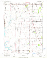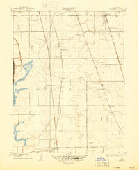
1909 Map of Florin
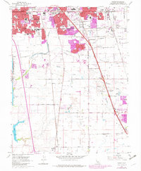
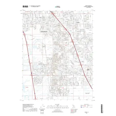
USGS Topo · Published 1947About this map
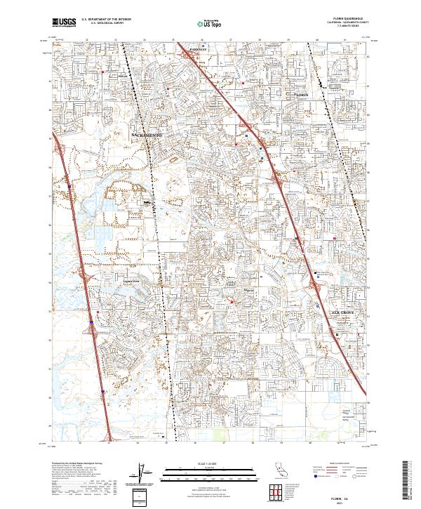
Florin sits at the northern edge of this Sacramento Valley landscape, serving as a key waypoint along the Southern Pacific railroad during the first decade of the 1900s. The region is defined by a series of north-south corridors, including the Western Pacific line and the parallel alignments of Upper Stockton Road and Lower Stockton Road. These routes connect small agricultural clusters and rural infrastructure such as Union House, Prairie School, and Franklin. The western portion of the map transitions into the lower-lying marshlands and water bodies of Stone Lake and Beach Lake, where the Sacramento Drainage Canal reflects early efforts to manage the water table for development. The survey reveals a meticulously divided terrain of sections and land parcels, typical of California’s Central Valley development patterns before modern suburban expansion transformed the area south of the state capital.
Find a feature on this map
17 named features on this map. Tap any name to fly to it.
Don’t see what you’re looking for? This feature index may not catch every label — zoom into the map to look around manually.
Map Details
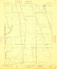
Editions of this 1909 Florin Map
2 editions found
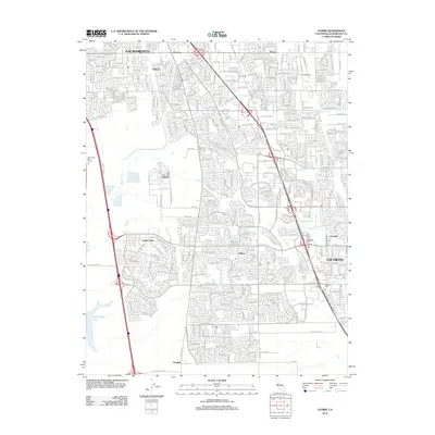
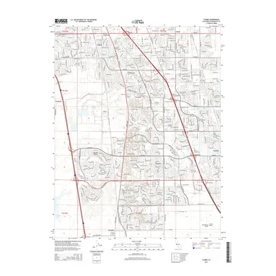
Historical Maps of Sacramento Through Time
7 maps found