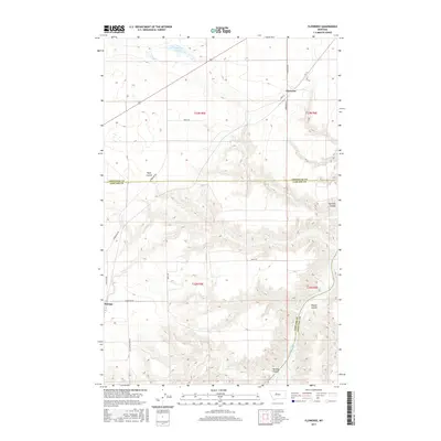
2017 Map of Floweree
USGS Topo · Published 2017About this map
Floweree and Portage anchor this landscape along the border of Chouteau and Cascade Counties, where the high plains meet the winding course of the Missouri River. The area is characterized by a series of significant drainage features, including Widow Coulee and Portage Coulee, which cut through the terrain toward the river valley. To the north, Floweree Lake sits near the small settlement of Floweree, which is defined by a modest grid including Main St and Rominger Ln. The map reveals a rural transportation network that follows the section lines of the Public Land Survey System, with roads like Gruel Rd and E Portage Rd providing access across the vast agricultural and grazing lands of central Montana. The presence of several family-named roads like Berts Ln and Jml Ln suggests the enduring agricultural heritage of the local ranching community.
Find a feature on this map
24 named features on this map. Tap any name to fly to it.
Don’t see what you’re looking for? This feature index may not catch every label — zoom into the map to look around manually.
Map Details
Editions of this 2017 Floweree Map
This is the sole edition of this map. No revisions or reprints were ever made.
Other maps of this area

1886 · Great Falls
USGS Topo · 1:250,000

1890 · Fort Benton
USGS Topo · 1:250,000

1892 · Fort Benton
USGS Topo · 1:250,000

1897 · Fort Benton
USGS Topo · 1:250,000

1948 · Portage
USGS Topo · 1:62,500

1949 · Portage
USGS Topo · 1:62,500

1950 · Dent Bridge
USGS Topo · 1:62,500

1953 · Carter
USGS Topo · 1:24,000

1954 · Great Falls
USGS Topo · 1:250,000

1954 · Lander Crossing
USGS Topo · 1:24,000