
1963 Map of Floyd
USGS Topo · Published 1964About this map
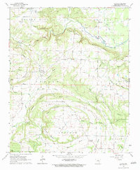
Floyd serves as a central hub in this White County landscape, where the topography is defined by the winding course of Bayou des Arc and the prominent heights of Des Arc Mountain. The 1963 field check reveals a rural community deeply tied to its land and heritage, marked by numerous small churches and family burial grounds like Quattlebaum Cem and Gray Cem. The terrain transitions from the steep slopes of Dugout Mountain and Red Rock Mountain to the rolling agricultural plots of Antioch and Cane. Resource extraction is evident through scattered sites such as the Gravel Pit and Shale Pit, while various named waterways like Bull Creek and Hog Thief Creek drain the surrounding hills. This survey documents the intersection of natural ridge-and-valley formations with the established rural road network and homesteads of the mid-20th century.
Find a feature on this map
50 named features on this map. Tap any name to fly to it.
Don’t see what you’re looking for? This feature index may not catch every label — zoom into the map to look around manually.
Map Details
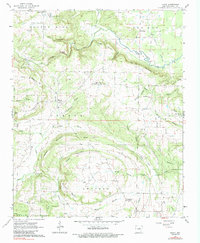
Editions of this 1963 Floyd Map
3 editions found
Other maps of this area

1953 · Memphis
USGS Topo · 1:250,000

1956 · Memphis
USGS Topo · 1:250,000

1956 · Russellville
USGS Topo · 1:250,000

1962 · Letona
USGS Topo · 1:24,000

1963 · Rose Bud
USGS Topo · 1:24,000

1963 · Garner
USGS Topo · 1:24,000

1963 · Mount Vernon
USGS Topo · 1:24,000

1963 · Sidon
USGS Topo · 1:24,000
1963 · Beebe
USGS Topo · 1:24,000
1963 · Mc Rae
USGS Topo · 1:24,000