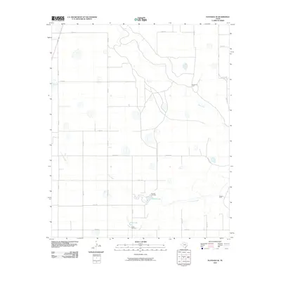
2010 Map of Floydada SE
USGS Topo · Published 2010About this map
Montgomery Ranch and Bridwell Ranch define the settlement pattern of this rural Texas landscape, where large landholdings are connected by a geometric grid of county roads. The terrain is characterized by the winding path of the White River and Crawfish Creek, which traverse the open country. Man-made water management is evident in the presence of the Hancock Lake Dam, which creates Hancock Lake, and the Snow Lake Dam at Snow Lake. These reservoirs and waterways provide essential resources for the agricultural and ranching operations that have shaped Crosby County. The infrastructure is anchored by primary routes such as FM 651 and Ranch Rd 193, which facilitate travel between the scattered homesteads and larger regional centers.
Find a feature on this map
28 named features on this map. Tap any name to fly to it.
Don’t see what you’re looking for? This feature index may not catch every label — zoom into the map to look around manually.
Map Details
Editions of this 2010 Floydada SE Map
This is the sole edition of this map. No revisions or reprints were ever made.
Other maps of this area

1954 · Lubbock
USGS Topo · 1:250,000

1965 · Cone
USGS Topo · 1:24,000

1965 · Floydada
USGS Topo · 1:24,000

1965 · Floydada SE
USGS Topo · 1:24,000

1965 · Boothe
USGS Topo · 1:24,000

1965 · Sandhill
USGS Topo · 1:24,000

1966 · Crosbyton
USGS Topo · 1:24,000

1966 · Mount Blanco
USGS Topo · 1:24,000

1967 · Ralls NE
USGS Topo · 1:24,000

1967 · Ralls
USGS Topo · 1:24,000