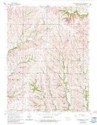
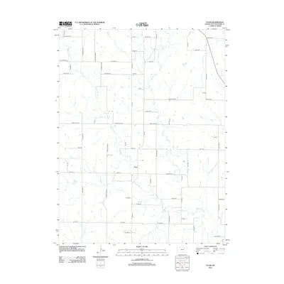
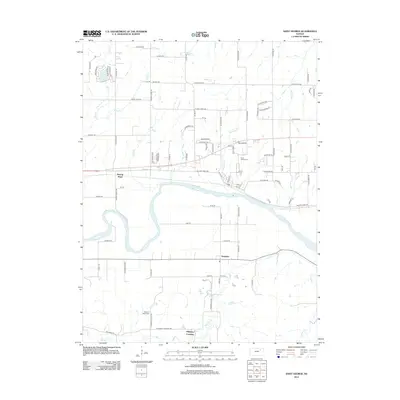
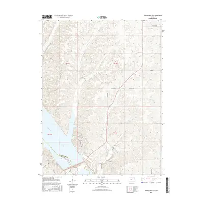
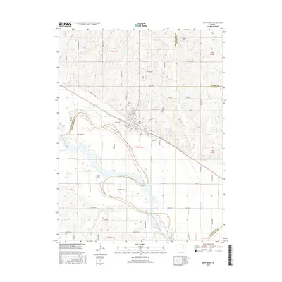
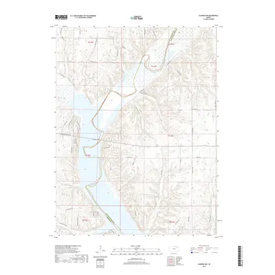
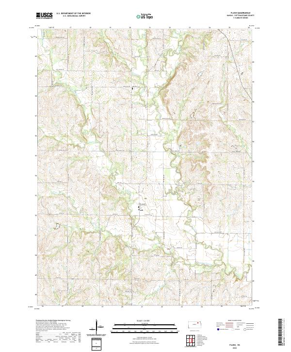
1964 Map of Flush
USGS Topo · Published 1978About this map
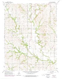
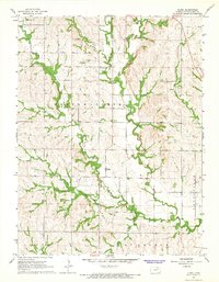
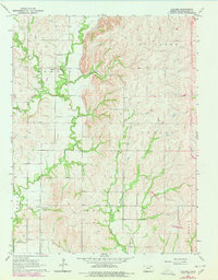
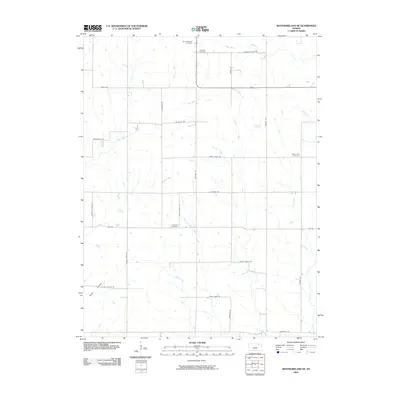
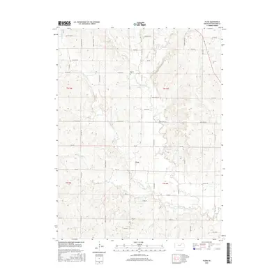
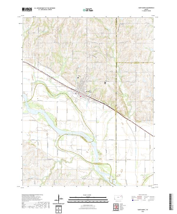
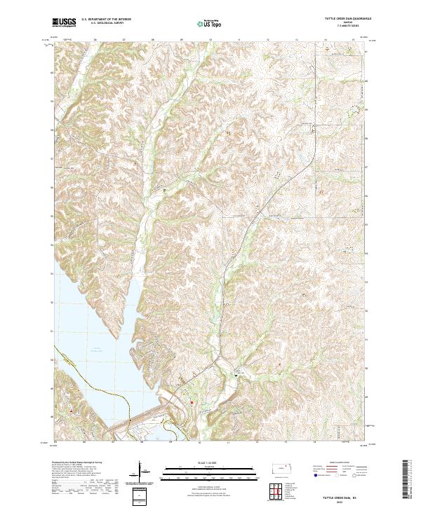
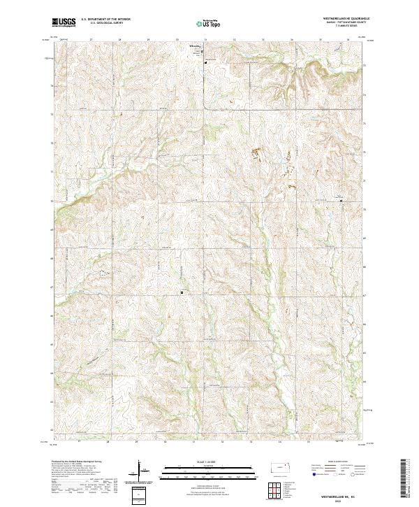
Flush serves as the primary focal point of this mid-century Kansas landscape, situated where the rolling hills of Pottawatomie County meet a dense network of prairie waterways. The map illustrates a rural society organized around small civic hubs and family burial grounds, such as the Sales Community Hall in the northwest and the Admatha Cem to the east. The terrain is deeply incised by a complex drainage system including Rock Creek, Pleasant Run, and Mud Creek, showing how the local topography dictated early road placement and property boundaries.
Find a feature on this map
18 named features on this map. Tap any name to fly to it.
Don’t see what you’re looking for? This feature index may not catch every label — zoom into the map to look around manually.
Map Details
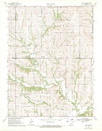
Editions of this 1964 Flush Map
2 editions found
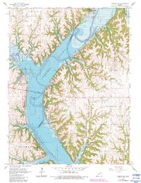
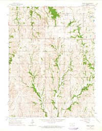
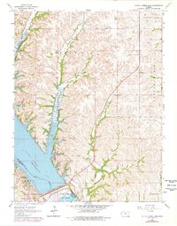
Historical Maps of Flush Through Time
54 maps found
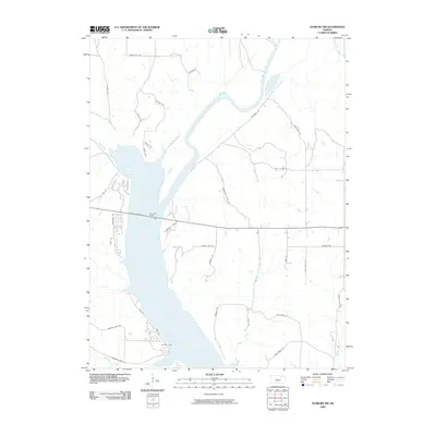
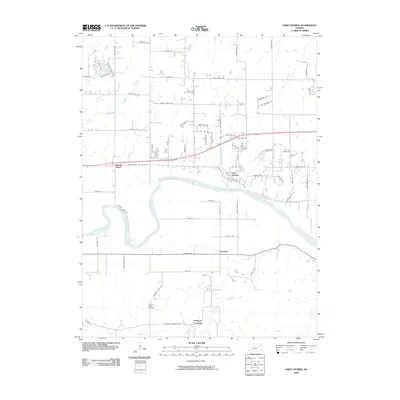
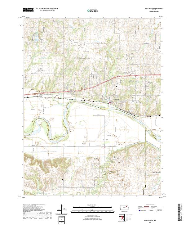
1953 St George
Pottawatomie County, KS
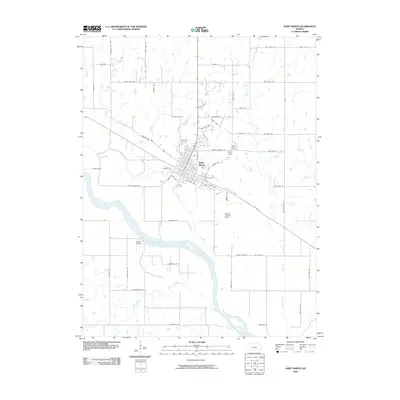
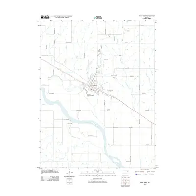
1953 St Marys
Pottawatomie County, KS
1964 Flush
Pottawatomie County, KS
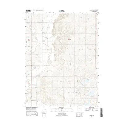
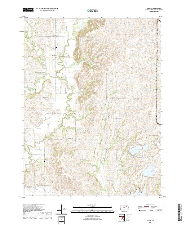
1964 Laclede
Pottawatomie County, KS
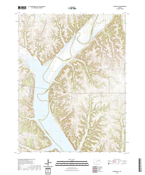
1964 Olsburg NW
Pottawatomie County, KS
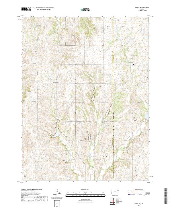
1964 Onaga NE
Pottawatomie County, KS
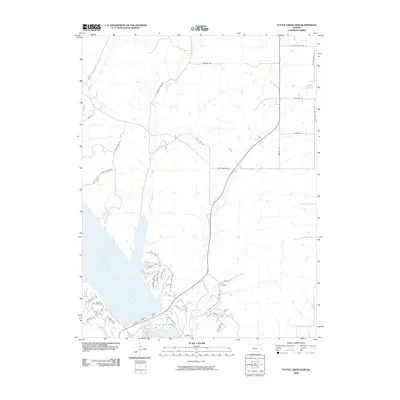
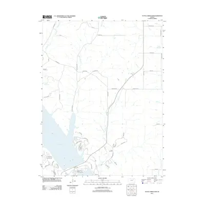
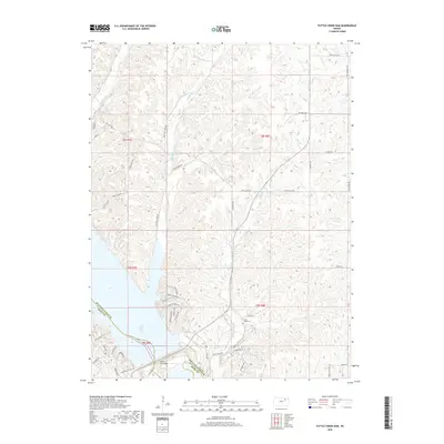
1964 Tuttle Creek Dam
Pottawatomie County, KS
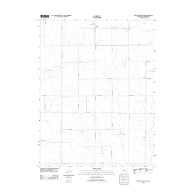
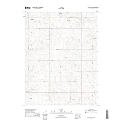
1964 Westmoreland NE
Pottawatomie County, KS
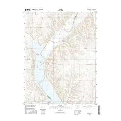
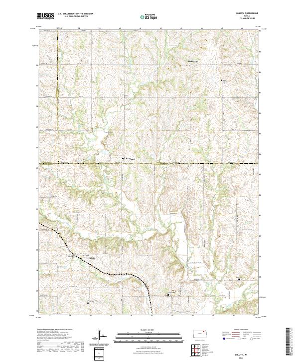
1969 Duluth
Pottawatomie County, KS
2009 Duluth
Pottawatomie County, KS
2009 Flush
Pottawatomie County, KS
2009 Olsburg NW
Pottawatomie County, KS
2009 Saint George
Pottawatomie County, KS
2009 Saint Marys
Pottawatomie County, KS
2009 Tuttle Creek Dam
Pottawatomie County, KS
2009 Westmoreland NE
Pottawatomie County, KS
2010 Laclede
Pottawatomie County, KS
2010 Onaga NE
Pottawatomie County, KS
2012 Duluth
Pottawatomie County, KS
2012 Flush
Pottawatomie County, KS
2012 Laclede
Pottawatomie County, KS
2012 Olsburg NW
Pottawatomie County, KS
2012 Onaga NE
Pottawatomie County, KS
2012 Saint George
Pottawatomie County, KS
2012 Saint Marys
Pottawatomie County, KS
2012 Tuttle Creek Dam
Pottawatomie County, KS
2012 Westmoreland NE
Pottawatomie County, KS
2015 Flush
Pottawatomie County, KS
2015 Laclede
Pottawatomie County, KS
2015 Olsburg NW
Pottawatomie County, KS
2015 Onaga NE
Pottawatomie County, KS
2015 Tuttle Creek Dam
Pottawatomie County, KS
2015 Westmoreland NE
Pottawatomie County, KS
2016 Duluth
Pottawatomie County, KS
2016 Saint George
Pottawatomie County, KS
2016 Saint Marys
Pottawatomie County, KS
2018 Duluth
Pottawatomie County, KS
2018 Flush
Pottawatomie County, KS
2018 Laclede
Pottawatomie County, KS
2018 Olsburg NW
Pottawatomie County, KS
2018 Onaga NE
Pottawatomie County, KS
2018 Saint George
Pottawatomie County, KS
2018 Saint Marys
Pottawatomie County, KS
2018 Tuttle Creek Dam
Pottawatomie County, KS
2018 Westmoreland NE
Pottawatomie County, KS
2022 Duluth
Pottawatomie County, KS
2022 Flush
Pottawatomie County, KS
2022 Laclede
Pottawatomie County, KS
2022 Olsburg NW
Pottawatomie County, KS
2022 Onaga NE
Pottawatomie County, KS
2022 Saint George
Pottawatomie County, KS
2022 Saint Marys
Pottawatomie County, KS
2022 Tuttle Creek Dam
Pottawatomie County, KS
2022 Westmoreland NE
Pottawatomie County, KS