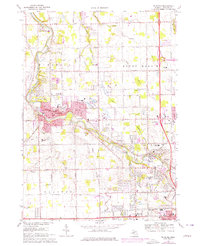
1975 Map of Flushing
USGS Topo · Published 1976About this map
Flushing and the surrounding Genesee County landscape are defined by the winding course of the Flint River, which anchors the region's development during the mid-1970s. The map illustrates a period of suburban transition, where large institutional sites like the Winchester Hospital and the Childrens Home sit near the historic Old Indian Treaty Line. These features reflect a layer of Michigan history that predates the modern street grid, which is already well-established by major thoroughfares such as Mt Morris Road and Beecher Road.
Find a feature on this map
64 named features on this map. Tap any name to fly to it.
Don’t see what you’re looking for? This feature index may not catch every label — zoom into the map to look around manually.
Map Details
Editions of this 1975 Flushing Map
This is the sole edition of this map. No revisions or reprints were ever made.
Other maps of this area

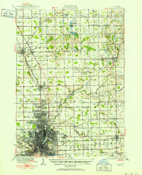
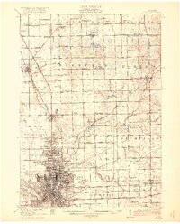
1919 · Burt
USGS Topo · 1:62,500
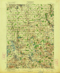
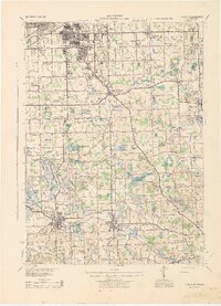
1920 · Flint
USGS Topo · 1:62,500
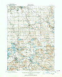
1920 · Holly
USGS Topo · 1:62,500

1921 · Burt
USGS Topo · 1:62,500
1922 · Holly
USGS Topo · 1:62,500

1922 · Durand
USGS Topo · 1:62,500
1922 · Flint
USGS Topo · 1:62,500
1943 · Holly
USGS Topo · 1:62,500
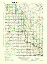
1943 · Burt
USGS Topo · 1:62,500

1943 · Durand
USGS Topo · 1:62,500
Featured Places
- Flushing, MI
- Flint Charter Township, MI
- Clayton Charter Township, MI
- Mount Morris Charter Township, MI
- Flushing Charter Township, MI