
1972 Map of Flynn Creek North
USGS Topo · Published 1975About this map
The Fort Peck Indian Reservation landscape is defined by the convergence of several intermittent waterways across the undulating terrain of Northeastern Montana. In the early 1970s, the boundary between Valley and Roosevelt counties bisected this area, cutting through the headwaters and drainages of Wolf Creek and Flynn Creek. The map documents a land primarily shaped by natural hydrologic features like Badger Hole and the East Fork Flynn Creek, alongside sparse human modifications such as a Gravel Pit and established fence lines. This 1:24,000 scale study provides a detailed account of the elevation and water resources in this specific section of the reservation, where the braided channels of Littleman Creek and several unnamed springs suggest a complex drainage system essential for life on the high plains.
Find a feature on this map
9 named features on this map. Tap any name to fly to it.
Don’t see what you’re looking for? This feature index may not catch every label — zoom into the map to look around manually.
Map Details
Editions of this 1972 Flynn Creek North Map
This is the sole edition of this map. No revisions or reprints were ever made.
Other maps of this area

1910 · Todd Lakes
USGS Topo · 1:62,500

1915 · Tule Valley
USGS Topo · 1:62,500

1915 · Oswego
USGS Topo · 1:62,500

1915 · Todd Lakes
USGS Topo · 1:62,500

1916 · Wolf Point
USGS Topo · 1:62,500

1954 · Wolf Point
USGS Topo · 1:250,000

1958 · Wolf Point
USGS Topo · 1:250,000

1972 · Wolf Point
USGS Topo · 1:24,000
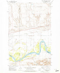
1972 · Flynn Creek South
USGS Topo · 1:24,000
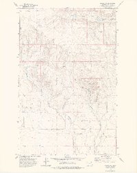
1972 · Oswego NW
USGS Topo · 1:24,000